Wayside Shrines and Stations of the Cross · Baroque / Rococo
Wegekreuzfragment


Description
This description is only available in German.
Translate with Google opens this page in Google Translate (external service)
Die Inschrift ist verwittert und nicht mehr lesbar. Das Oberteil ist 3-seitig durch Eisenklammern mit der Säule verbunden. [1]
In der Topographischen Karte 1:25.000 erscheint das Kreuz erst in der Ausgabe 2015 [Red.]
Classification
- Subject area
- Architectural and Art Monuments
- Category
- Religious Buildings
- Object type
- Wayside Shrines and Stations of the Cross
- Date
- 1713
- Period
- Baroque / Rococo
Location
- District
- City of Trier
- Collective municipality
- Verbandsfreie Gemeinde Trier
- Town
- Trier
- Locality / location
- Trier-West/Pallien
- Street
- Hinter Sievenicherhof 1
- Field name
- Sievenicherhof
- Coordinates
- WGS 84: 49.777354, 6.610471 (Position: exact) WGS 84: 49° 46′ 38.5″ N, 6° 36′ 37.7″ E UTM 32 (ETRS89): E 327968 · N 5516616
Sources
Data sources
- [1] GeoPortal des Landes Rheinland-Pfalz. http://www.geoportal.rlp.de/
On the internet
de.wikipedia.org/wiki/Trier-West/Pallien
Picture credits
Last edited: 31 Mar 2020 Object ID: 25347
https://kulturdb.de/en/objekt/25347-trier-west-pallien-wegekreuzfragment
Nearby
The nearest objects
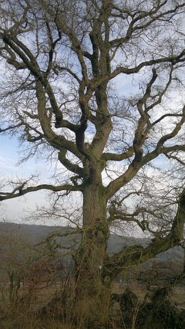 60 m
Oaks
Eiche am Sievenicher Hof
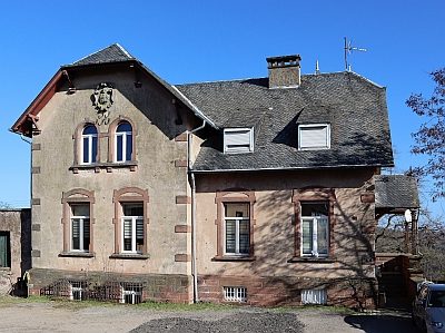 100 m
Farmhouses and Farm Buildings
Sievenicher Hof
Lime Kilns
Ehemaliger Kalkofen
Field Names
Beim Kalkofen
 330 m
Oaks
Grenzeiche am Sievenicher Hof
Extraction and Processing of Raw Materials
Ehemaliger Steinbruch
Extraction and Processing of Raw Materials
Ehemaliger Steinbruch
660 m
Wild Service Trees