Wayside Shrines and Stations of the Cross · Historicism / Art Nouveau
Mühlenkreuz


Description
This description is only available in German.
Translate with Google opens this page in Google Translate (external service)
Classification
- Subject area
- Architectural and Art Monuments
- Category
- Religious Buildings
- Object type
- Wayside Shrines and Stations of the Cross
- Date
- um 1880
Location
- District
- Eifelkreis Bitburg-Prüm
- Collective municipality
- Bitburger Land
- Municipality
- Idesheim
- Field name
- Aufm Idenheimer Weg
- Coordinates
- WGS 84: 49.875570, 6.585629 (Position: exact) WGS 84: 49° 52′ 32.1″ N, 6° 35′ 08.3″ E UTM 32 (ETRS89): E 326532 · N 5527592
Sources
Data sources
- [1] Ferring, Stefan: Die Wegekreuze der Verbandsgemeinde Trier-Land. Examensarbeit von 1998.
- [2] Michael Grün, Trier, 2020.
On the internet
bitburgerland.de/ortsgemeinden/2/idesheim
Picture credits
Last edited: 22 Mar 2023 Object ID: 25359
https://kulturdb.de/en/objekt/25359-idesheim-muehlenkreuz
Nearby
The nearest objects
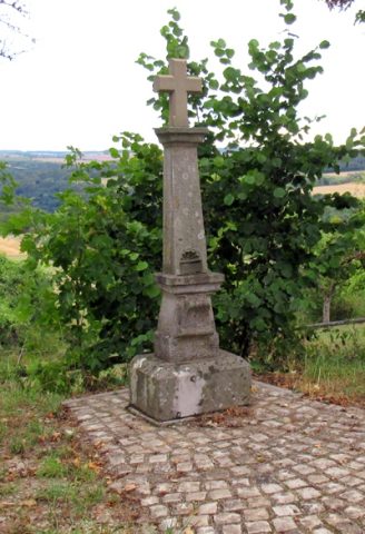 280 m
Wayside Shrines and Stations of the Cross
Wegekreuz
No picture
350 m
Field Names
Auf Bornheide
No picture
370 m
Field Names
Im Hundsberg
No picture
430 m
Field Names
Beim Messenweg
 490 m
Settlements
Römische Siedlung
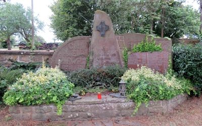 510 m
War Memorials
Kriegerdenkmal beider Weltkriege
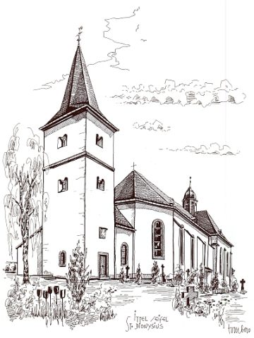 520 m
Catholic Churches
Sankt Dionysius (2)
No picture
570 m
Field Names