Field Names · Undated
In der Altmühl

Description
This description is only available in German.
Translate with Google opens this page in Google Translate (external service)
Ehemals Standort einer Wassermühle. [1]
Classification
- Subject area
- History
- Category
- Field Names
- Date
- Undatiert
- Period
- Undated
Location
- District
- Eifelkreis Bitburg-Prüm
- Collective municipality
- Bitburger Land
- Municipality
- Oberkail
- Locality / location
- Kailbachhof
- Field name
- In der Altmühl
- Coordinates
- WGS 84: 50.032422, 6.687923 (Position: exact) WGS 84: 50° 01′ 56.7″ N, 6° 41′ 16.5″ E UTM 32 (ETRS89): E 334419 · N 5544797
Sources
Data sources
- [1] Karl E. Becker: Das Kyllburger Land. Kyllburg 1977. Hrsg. Verbandsgemeinde Kyllburg.
On the internet
Picture credits
- Picture 1: Internet
Last edited: 11 Nov 2012 Object ID: 25545
https://kulturdb.de/en/objekt/25545-oberkail-in-der-altmuehl
Nearby
The nearest objects
 30 m
Settlements
Römische Siedlungsstelle
No picture
280 m
Field Names
In der Acht
No picture
400 m
Field Names
Bungert
410 m
Settlements
Römische Siedlungsstelle
No picture
500 m
Wayside Shrines and Stations of the Cross
Bildstock zu Ehren der Muttergottes
 530 m
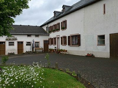
Farmhouses and Farm Buildings
Hofanlage
 570 m
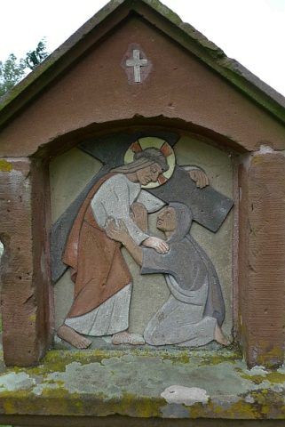
Wayside Shrines and Stations of the Cross
Kreuzweg Frohnertkapelle - 4. Station
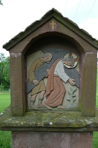 590 m
Wayside Shrines and Stations of the Cross