Field Names · Early Middle Ages / Romanesque
In Nanzem


© GeoBasis-DE / LVermGeoRP, dl-de/by-2-0
There is no picture of this object yet. Do you have a photo that you would like to make available to the Kulturdatenbank? Submit a picture
Description
This description is only available in German.
Translate with Google opens this page in Google Translate (external service)
Wüstung, auch 893 nanzenheym. [1]
Classification
- Subject area
- History
- Category
- Field Names
- Date
- 893
Location
- District
- Eifelkreis Bitburg-Prüm
- Collective municipality
- Bitburger Land
- Municipality
- Badem
- Field name
- In Nanzem
- Coordinates
- WGS 84: 50.008552, 6.605667 (Position: exact) WGS 84: 50° 00′ 30.8″ N, 6° 36′ 20.4″ E UTM 32 (ETRS89): E 328444 · N 5542329
Sources
Data sources
- [1] Karl E. Becker: Das Kyllburger Land. Kyllburg 1977. Hrsg. Verbandsgemeinde Kyllburg.
On the internet
Last edited: 14 Nov 2012 Object ID: 25594
https://kulturdb.de/en/objekt/25594-badem-in-nanzem
Nearby
The nearest objects
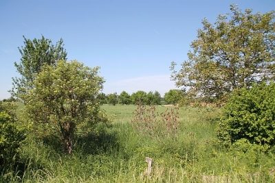 170 m
Field Names
Im hintersten Faulenborn
Field Names
Ober dem Wilseckerweg auf Manters Kalkofen
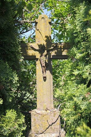 230 m
Wayside Shrines and Stations of the Cross
Wegekreuz
Field Names
Im vordersten Faulenborn
Field Names
Unter Manters Kalkofen
 360 m
Settlements
Römische Siedlungsstelle
Field Names
Hinter Manters Kalkofen
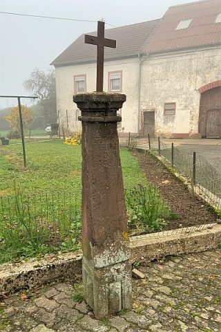 560 m
Wayside Shrines and Stations of the Cross