Administrative Buildings · Undated
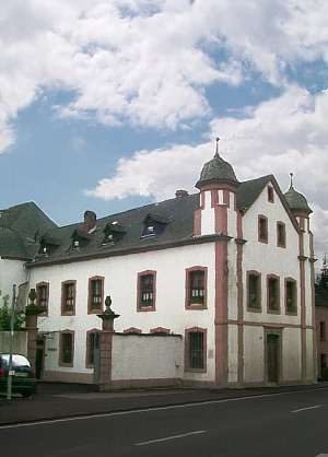
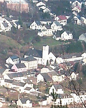
Haus der Gemeinde

Classification
- Subject area
- Architectural and Art Monuments
- Category
- Administrative Buildings
- Date
- Undatiert
- Period
- Undated
Location
- District
- Trier-Saarburg
- Collective municipality
- Trier-Land
- Municipality
- Igel
- Field name
- Ortslage
- Coordinates
- WGS 84: 49.708455, 6.550502 (Position: within the village) WGS 84: 49° 42′ 30.4″ N, 6° 33′ 01.8″ E UTM 32 (ETRS89): E 323401 · N 5509096
Sources
On the internet
Picture credits
- Picture 1: © Helge Rieder, Konz, 2000
Last edited: 3 Oct 2000 Object ID: 2569
https://kulturdb.de/en/objekt/2569-igel-haus-der-gemeinde
Nearby
The nearest objects
 less than 10 m
Courthouses
Gerichtshaus
 90 m
Fountains and Wells
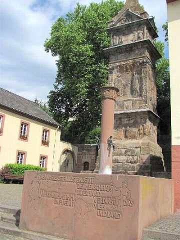
Dorfbrunnen (1)
 90 m
Fountains and Wells
Dorfbrunnen (2)
 100 m
Railways
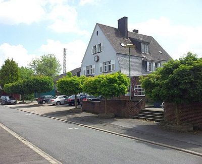
Bahnhofsgebäude
 110 m
Roman Tombs
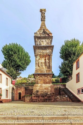
Sogenannte Igeler Säule
 110 m
Catholic Churches
Sankt Dionysius
No picture
110 m
Vineyard Sites
Steinwingert
No picture
130 m
Burial Mounds