Wayside Shrines and Stations of the Cross · 21st Century
Michelskreuz


© GeoBasis-DE / LVermGeoRP, dl-de/by-2-0
There is no picture of this object yet. Do you have a photo that you would like to make available to the Kulturdatenbank? Submit a picture
Description
This description is only available in German.
Translate with Google opens this page in Google Translate (external service)
[Vom Dorfplatz] aus sieht man in den Weinbergen gleich über dem Ort das im Jahr 2000 errichtete Michelskreuz: Es erinnert an den Standort der ältesten, von den Franken möglicherweise an der Stelle eines älteren römischen Tempels errichtete christliche Kirche des Ortes, die im 18. Jahrhundert aufgegeben wurde.
Classification
- Subject area
- Architectural and Art Monuments
- Category
- Religious Buildings
- Object type
- Wayside Shrines and Stations of the Cross
- Date
- 2000
- Period
- 21st Century
Location
- District
- Trier-Saarburg
- Collective municipality
- Schweich an der römischen Weinstraße
- Municipality
- Klüsserath
- Field name
- Beim Langenborn
- Coordinates
- WGS 84: 49.845879, 6.864425 (Position: exact) WGS 84: 49° 50′ 45.2″ N, 6° 51′ 51.9″ E UTM 32 (ETRS89): E 346467 · N 5523682
Sources
Data sources
On the internet
Last edited: 9 Mar 2018 Object ID: 25699
https://kulturdb.de/en/objekt/25699-kluesserath-michelskreuz
Nearby
The nearest objects
Farmhouses and Farm Buildings
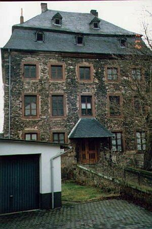
Ehemaliger Echternacher Hof
 90 m
Wayside Shrine Houses
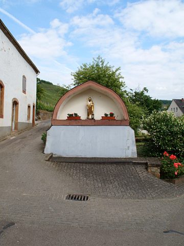
Sankt Jakob
 110 m
Manorial Residences and Estate Buildings
Ehemalige kurtrierische Wasserburg
Vineyard Sites
Bruderschaft
Vineyard Sites
Bruderschaft
Field Names
Beim Langenborn
Settlements
Römische Siedlungsstelle
Field Names