Chapels · Undated
Kapelle
- Listed monument

Classification
- Subject area
- Architectural and Art Monuments
- Category
- Religious Buildings
- Object type
- Chapels
- Date
- Undatiert
- Period
- Undated
Location
- District
- Trier-Saarburg
- Collective municipality
- Schweich an der römischen Weinstraße
- Municipality
- Pölich
- Field name
- Am Kuhnenwald
- Coordinates
- WGS 84: 49.801514, 6.843452 (Position: exact) WGS 84: 49° 48′ 05.5″ N, 6° 50′ 36.4″ E UTM 32 (ETRS89): E 344817 · N 5518794
Sources
Data sources
- [1] GeoPortal des Landes Rheinland-Pfalz. http://www.geoportal.rlp.de/
On the internet
Picture credits
- Picture 1: © Michael Grün, Trier, 2019.
Last edited: 29 Jul 2025 Object ID: 25737
https://kulturdb.de/en/objekt/25737-poelich-kapelle
Nearby
The nearest objects
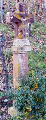 150 m
Wayside Shrines and Stations of the Cross
Wegekreuz
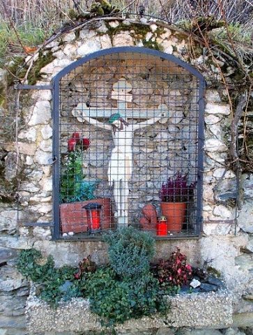 180 m
Wayside Shrines and Stations of the Cross
Wegekreuz
No picture
270 m
Vineyard Sites
Oben im Neuwingert
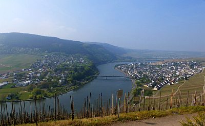 300 m
Viewpoints
Aussichtspunkt Huxlay
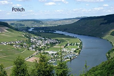 310 m
Place Names / Local History
Ortsgeschichte
No picture
350 m
Vineyard Sites
Unten im Neuwingert
No picture
360 m
Vineyard Sites
Mitten im Neuwingert
No picture
370 m
Field Names