Execution Sites · Undated
Gewann Galgenwild

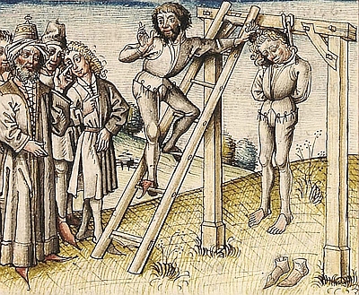
Description
This description is only available in German.
Translate with Google opens this page in Google Translate (external service)
Classification
- Subject area
- History
- Category
- Legal Monuments
- Object type
- Execution Sites
- Date
- Undatiert
- Period
- Undated
Location
- District
- Trier-Saarburg
- Collective municipality
- Ruwer
- Municipality
- Gusterath
- Field name
- Galgenwild
- Coordinates
- WGS 84: 49.702491, 6.697037 (Position: presumed) WGS 84: 49° 42′ 09.0″ N, 6° 41′ 49.3″ E UTM 32 (ETRS89): E 333944 · N 5508099
Sources
Data sources
- [1] Karl E. Becker: Das Kyllburger Land. Kyllburg 1977. Hrsg. Verbandsgemeinde Kyllburg.
On the internet
Picture credits
Last edited: 7 Aug 2025 Object ID: 25788
https://kulturdb.de/en/objekt/25788-gusterath-gewann-galgenwild
Nearby
The nearest objects
No picture
30 m
Entrenchments
Ehemalige Schanze
No picture
50 m
Entrenchments
Ehemalige Schanze
No picture
100 m
Entrenchments
Ehemalige Schanze
No picture
220 m
Entrenchments
Ehemalige Schanze
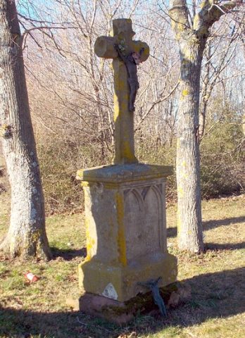 360 m
Wayside Shrines and Stations of the Cross
Lindenkreuz
No picture
380 m
Field Names
Gingelsrech
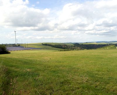 440 m
Viewpoints
Aussichtspunkt
No picture
500 m
Field Names