Deserted Settlements · Historicism / Art Nouveau
Auf der Acht - Ehemalige Schäferei


© GeoBasis-DE / LVermGeoRP, dl-de/by-2-0
There is no picture of this object yet. Do you have a photo that you would like to make available to the Kulturdatenbank? Submit a picture
Description
This description is only available in German.
Translate with Google opens this page in Google Translate (external service)
In der Topographische Karte von 1885 findet sich der Eintrag "Verfallene Schäferei". [1]
Classification
- Subject area
- Archaeological Monuments
- Category
- Settlements
- Object type
- Deserted Settlements
- Date
- 1885
Location
- District
- Trier-Saarburg
- Collective municipality
- Schweich an der römischen Weinstraße
- Municipality
- Trittenheim
- Field name
- Auf der Acht
- Coordinates
- WGS 84: 49.838447, 6.885573 (Position: exact) WGS 84: 49° 50′ 18.4″ N, 6° 53′ 08.1″ E UTM 32 (ETRS89): E 347964 · N 5522813
Sources
Data sources
- [1] Topographische Karte von 1885
On the internet
Last edited: 6 Dec 2012 Object ID: 25830
https://kulturdb.de/en/objekt/25830-trittenheim-auf-der-acht-ehemalige-schaeferei
Nearby
The nearest objects
Viewpoints
Aussichtspunkt
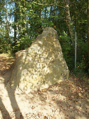 240 m
Standing Stones, Menhirs
Menhir Eselstrapp (1)
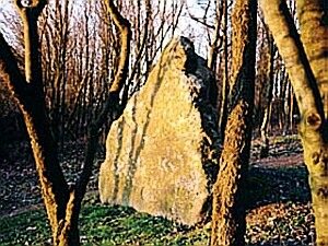 240 m
Standing Stones, Menhirs
Sage zum Menhir Eselstrapp
 240 m
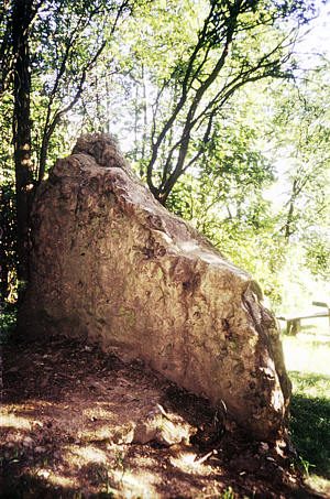
Standing Stones, Menhirs
Menhir Eselstrapp (2)
Field Names
Auf der Acht
 280 m
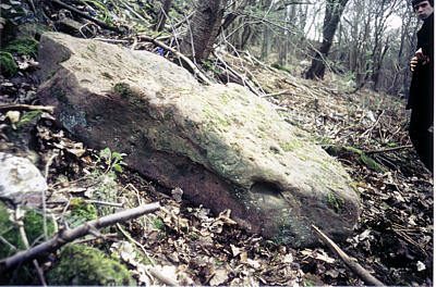
Standing Stones, Menhirs
Hinkelsteinfund am Galigsberg
Vineyard Sites
Klausen Weinberg
 590 m
Wayside Shrines and Stations of the Cross