Railways · Historicism / Art Nouveau
Ehemaliger Bahnhof


© GeoBasis-DE / LVermGeoRP, dl-de/by-2-0
There is no picture of this object yet. Do you have a photo that you would like to make available to the Kulturdatenbank? Submit a picture
Classification
- Subject area
- Architectural and Art Monuments
- Object type
- Railways
- Date
- 1893
Location
- District
- Eifelkreis Bitburg-Prüm
- Town
- Prüm
- Street
- Bahnhofstraße
- Field name
- Ortslage
- Coordinates
- WGS 84: 50.203441, 6.422273 (Position: exact) WGS 84: 50° 12′ 12.4″ N, 6° 25′ 20.2″ E UTM 32 (ETRS89): E 316054 · N 5564431
Sources
Data sources
- [1] Topographische Karte von 1893.
On the internet
Last edited: 17 Dec 2012 Object ID: 25864
https://kulturdb.de/en/objekt/25864-pruem-ehemaliger-bahnhof
Nearby
The nearest objects
No picture
170 m
Town Houses and Commercial Buildings
Zeilenwohnhaus
No picture
200 m
Wayside Shrines and Stations of the Cross
Nischengehäuse eines nachgotischen Nischenkreuzes
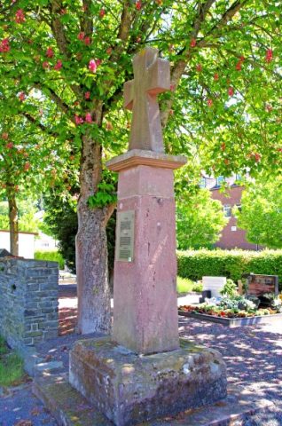 250 m
Wayside Shrines and Stations of the Cross
Sogenanntes Frankenkreuz
No picture
250 m
Monastic Complexes
Wirtschaftsgebäude des Bischöflichen Konvikts
 260 m
Rocks
Felsklippen
No picture
280 m
Chapels
Sankt Wendelinus Kapelle
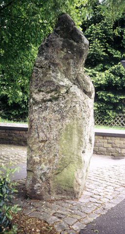 310 m
Standing Stones, Menhirs
Schloßhecker Menhir - Neuer Standort
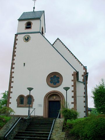 350 m
Protestant Churches