Railways · Historicism / Art Nouveau
Ehemaliger Bahnhof Wittlich (Stadt)


© GeoBasis-DE / LVermGeoRP, dl-de/by-2-0
There is no picture of this object yet. Do you have a photo that you would like to make available to the Kulturdatenbank? Submit a picture
Classification
- Subject area
- Architectural and Art Monuments
- Object type
- Railways
- Date
- 1885
Location
- District
- Bernkastel-Wittlich
- Collective municipality
- Verbandsfreie Gemeinde Wittlich
- Town
- Wittlich
- Street
- Schloßstraße 5-7
- Field name
- Im Thiergarten
- Coordinates
- WGS 84: 49.984821, 6.891164 (Position: exact) WGS 84: 49° 59′ 05.4″ N, 6° 53′ 28.2″ E UTM 32 (ETRS89): E 348824 · N 5539074
Sources
Data sources
- [1] Topographische Karte von 1885.
On the internet
Last edited: 21 Jan 2013 Object ID: 25865
https://kulturdb.de/en/objekt/25865-wittlich-ehemaliger-bahnhof-wittlich-stadt
Nearby
The nearest objects
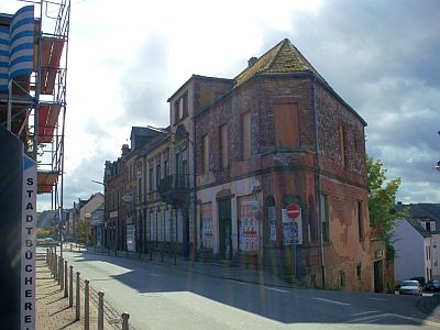 30 m
Catering, Inns and Hotels
Ehemaliges Hotel Zur Traube
40 m
Town Houses and Commercial Buildings
Historistische Bauten Schlossstraße
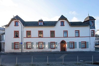 40 m
Town Houses and Commercial Buildings
Putzbau
No picture
50 m
Post Offices
Ehemalige Kaiserliche Post
No picture
80 m
Town Houses and Commercial Buildings
Wirtschaftsbau Obere Kordel 21
No picture
100 m
Town Houses and Commercial Buildings
Wohnhaus
 110 m
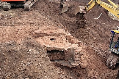
Castles
Ehemalige Burg Ottenstein
 110 m
Street Names