Wayside Shrines and Stations of the Cross · Historicism / Art Nouveau
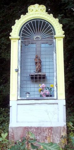
Nischenkreuz
Description
This description is only available in German.
Translate with Google opens this page in Google Translate (external service)
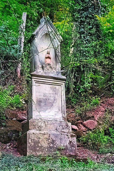
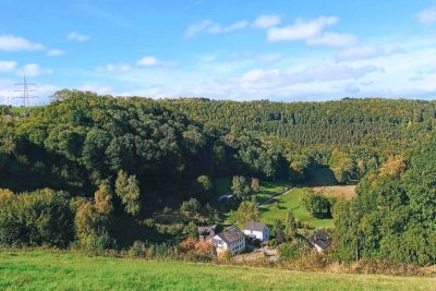
Das erste Haus im Busental wurde 1803 von der Familie König (genannt „Köni”) erbaut. Ihre Tochter heiratete einen Herrn Bartelmes, dessen Vorfahren bereits aus dem Busental stammten.
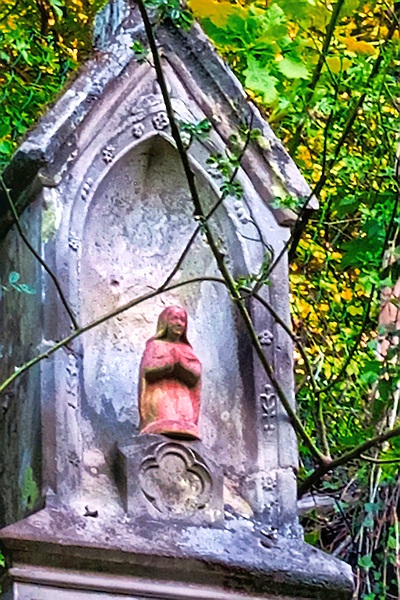
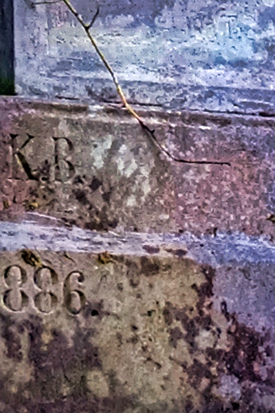
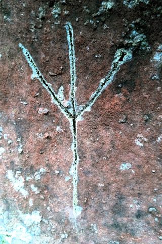
Im Jahr 1886 wurde das Wegekreuz errichtet. Die Inschrift „1886 K.B.” links am Sockel steht für das Errichtungsdatum und die Namen König Bartelmes. [1]
Classification
- Subject area
- Architectural and Art Monuments
- Category
- Religious Buildings
- Object type
- Wayside Shrines and Stations of the Cross
- Date
- 1886
Location
- District
- City of Trier
- Collective municipality
- Verbandsfreie Gemeinde Trier
- Town
- Trier
- Locality / location
- Trier-West/Pallien
- Street
- Busental 1 A
- Field name
- Busental
- Coordinates
- WGS 84: 49.755347, 6.607653 (Position: exact) WGS 84: 49° 45′ 19.2″ N, 6° 36′ 27.6″ E UTM 32 (ETRS89): E 327687 · N 5514176
Sources
Data sources
- [1] Lothar Zimmer, Trierweiler-Sirzenich und Köln, 2025.
On the internet
de.wikipedia.org/wiki/Trier-West/Pallien
Picture credits
Last edited: 1 Nov 2025 Object ID: 25869
https://kulturdb.de/en/objekt/25869-trier-west-pallien-nischenkreuz
Nearby
The nearest objects
 30 m
Surveying
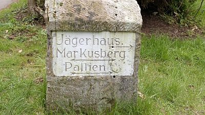
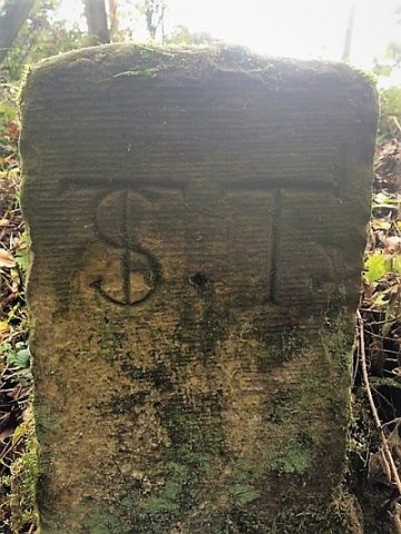
Historischer Wegestein im Busental
 40 m
Place Names / Local History
Busental
 190 m
Surveying
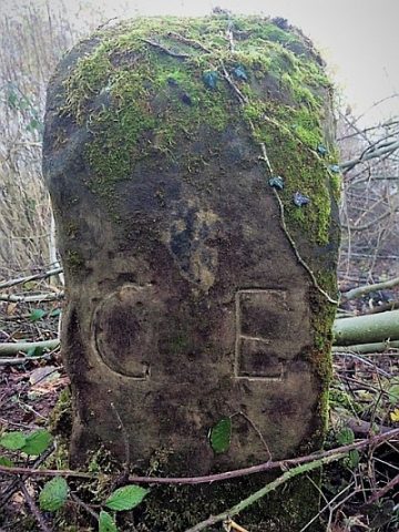
Historischer Grenzstein Euren - Sirzenich
Place Names / Local History
Neubüschhaus
 210 m
Surveying
Historischer Grenzstein Euren - Sirzenich
 270 m
Wayside Shrines and Stations of the Cross
Bildstock
Farmhouses and Farm Buildings
Neubüschhaus, Hungerburg, Katharinenhof
 280 m
Markers and Monuments