Settlements · Early Middle Ages / Romanesque
Mutmaßliche Brücke


© GeoBasis-DE / LVermGeoRP, dl-de/by-2-0
There is no picture of this object yet. Do you have a photo that you would like to make available to the Kulturdatenbank? Submit a picture
Description
This description is only available in German.
Translate with Google opens this page in Google Translate (external service)
Fundstelle 766
Bis ins 19. Jahrhundert befand sich ca. 1 km nordnordöstlich der Kirche von Oberweis, am Steilufer der Prüm, ein 15 m breites Brückenfundament aus Rotsandsteinquadern, das heute nicht mehr erhalten ist. Römische Brücke?
Steinhausen 1932, 241
Koethe 1934, 20ff.; van Ossel 1992, 264ff.
In: Römisch-Germanische Forschungen, Bd. 63. Eisenzeitlicher Kulturwandel und Romanisierung im Mosel-Eifel-Raum. Die keltisch-römische Siedlung von Wallendorf und ihr archäologisches Umfeld. Römisch-Germanische Kommission des Deutschen Archäologischen Instituts Frankfurt a. M. Fundstellenkatalog von: Dirk L. Krausse unter Mitarbeit von Antje Fischbock. 2006.
Classification
- Subject area
- Archaeological Monuments
- Category
- Settlements
- Object type
- Settlements
- Date
- Circa 500 vor Chr. bis circa 500 nach Chr.
Location
- District
- Eifelkreis Bitburg-Prüm
- Collective municipality
- Bitburger Land
- Municipality
- Oberweis
- Field name
- Im Frunk
- Coordinates
- WGS 84: 49.972881, 6.426038 (Position: exact) WGS 84: 49° 58′ 22.4″ N, 6° 25′ 33.7″ E UTM 32 (ETRS89): E 315439 · N 5538791
Sources
Data sources
- - Fundstellenkatalog: Die keltisch-römische Siedlung von Wallendorf und ihr archäologisches Umfeld. Dirk L. Krausse unter Mitarbeit von Antje Fischbock, 2006.
- - Dirk Krausse: Eisenzeitlicher Kulturwandel und Romanisierung im Mosel-Eifel-Raum. Verlag: Philipp von Zabern, Mainz, 2006. Beilage 1.
On the internet
Last edited: 8 Feb 2013 Object ID: 25909
https://kulturdb.de/en/objekt/25909-oberweis-mutmassliche-bruecke
Nearby
The nearest objects
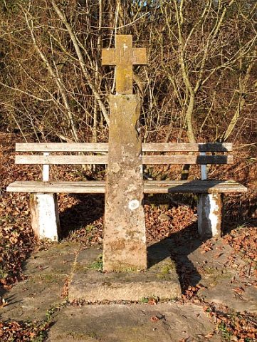 670 m
Wayside Shrines and Stations of the Cross
Wegekreuzschaft aus rotem Sandstein
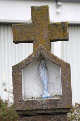 720 m
Wayside Shrines and Stations of the Cross
Nischenkreuz
Settlements
Römische Palastvilla
Field Names
Im Gründchen
Field Names
Pfaffenrath
 1.1 km
Catholic Churches
Sankt Remigius
Wayside Shrines and Stations of the Cross
Wegekreuz
 1.1 km
Chapels