Market Towns · Neoclassicism
Marktort Spang-Dahlem


Description
This description is only available in German.
Translate with Google opens this page in Google Translate (external service)
2 Kram- und Viehmärkte,
1) zweiten Donnerstag nach Frohnleichnam,
2) ersten Donnerstag nach Mariä Himmelfahrt. [1]
Classification
- Subject area
- History
- Category
- Economy, Trade and Transport
- Object type
- Market Towns
- Date
- 1846
- Period
- Neoclassicism
Location
- District
- Eifelkreis Bitburg-Prüm
- Collective municipality
- Speicher
- Municipality
- Spangdahlem
- Field name
- Ortslage
- Coordinates
- WGS 84: 49.985498, 6.683023 (Position: within the village) WGS 84: 49° 59′ 07.8″ N, 6° 40′ 58.9″ E UTM 32 (ETRS89): E 333907 · N 5539591
Sources
Data sources
- [1] Georg Bärsch: Beschreibung des Regierungsbezirks Trier, 1. Theil, 1849.
On the internet
vg-speicher.de/gemeinden/spangdahlem
Picture credits
Last edited: 26 Oct 2017 Object ID: 25972
https://kulturdb.de/en/objekt/25972-spangdahlem-marktort-spang-dahlem
Nearby
The nearest objects
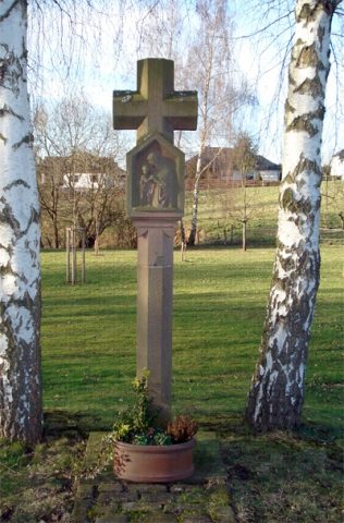 90 m
Wayside Shrines and Stations of the Cross
Postkreuz von Spangdahlem
Farmhouses and Farm Buildings
Wohnhaus
Field Names
Backestriesch
Settlements
Römische Siedlungsstelle
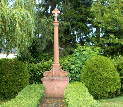 200 m
Wayside Shrines and Stations of the Cross
Wegekreuz
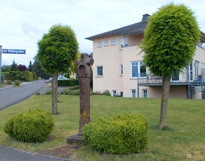 200 m
Wayside Shrines and Stations of the Cross
Wegekreuz
 200 m
Settlements
Römische Siedlungsstelle
260 m
Settlements