Wayside Shrines and Stations of the Cross · Undated
Ehemaliges Wegekreuz auf Bollenheld


© GeoBasis-DE / LVermGeoRP, dl-de/by-2-0
There is no picture of this object yet. Do you have a photo that you would like to make available to the Kulturdatenbank? Submit a picture
Description
This description is only available in German.
Translate with Google opens this page in Google Translate (external service)
Die Topographische Karte 1:25.000 zeigte hier seit 1899 ein Wegekreuz, mittlerweile ist es aber hier nicht mehr zu finden. [1]
Classification
- Subject area
- Architectural and Art Monuments
- Category
- Religious Buildings
- Object type
- Wayside Shrines and Stations of the Cross
- Date
- Undatiert
- Period
- Undated
Location
- District
- Eifelkreis Bitburg-Prüm
- Collective municipality
- Prüm
- Municipality
- Nimshuscheid
- Field name
- Auf Bollenheld
- Coordinates
- WGS 84: 50.087374, 6.492195 (Position: exact) WGS 84: 50° 05′ 14.5″ N, 6° 29′ 31.9″ E UTM 32 (ETRS89): E 320609 · N 5551358
Sources
Data sources
- [1] Sandra Wack, Neuheilenbach, 2026.
On the internet
Last edited: 20 Jan 2026 Object ID: 26019
https://kulturdb.de/en/objekt/26019-nimshuscheid-ehemaliges-wegekreuz-auf-bollenheld
Nearby
The nearest objects
 40 m
Field Names
Auf Bollenheld
Field Names
Hinter Bollenheld
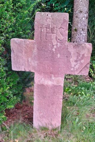 450 m
Wayside Shrines and Stations of the Cross
Wegekreuz
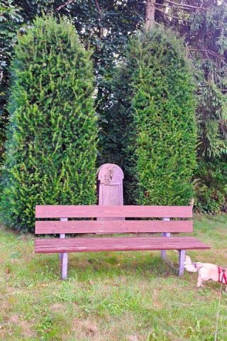 450 m
Wayside Shrines and Stations of the Cross
Wegekreuz
Field Names
In der Schweinsdell
Field Names
Aufm Werth
Wayside Shrines and Stations of the Cross
Wegekreuz
Field Names