Wayside Shrines and Stations of the Cross · Historicism / Art Nouveau
Wegekreuz


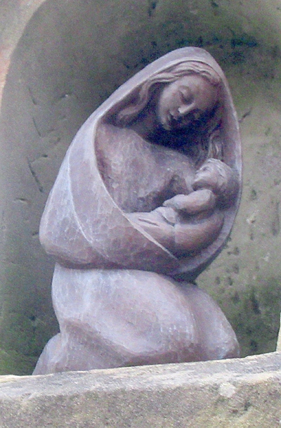
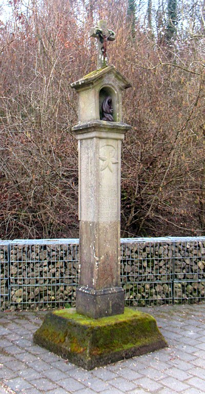
Description
This description is only available in German.
Translate with Google opens this page in Google Translate (external service)
Inschrift:
Dieses Kreuz
haben die Eleu
de WILHELM
ADAM und
MARG. BART
ELMES zu
Eren der smer
zhaften Mutter
GOTTES MARIA
errichten lassen
im Jahre
1870 [1]
Classification
- Subject area
- Architectural and Art Monuments
- Category
- Religious Buildings
- Object type
- Wayside Shrines and Stations of the Cross
- Date
- 1870
Location
- District
- Trier-Saarburg
- Collective municipality
- Trier-Land
- Municipality
- Ralingen
- Locality / location
- Kerscher Bach
- Street
- Bei Kerscher Bach 8
- Field name
- An der Frankenhöhe
- Coordinates
- WGS 84: 49.790472, 6.552478 (Position: exact) WGS 84: 49° 47′ 25.7″ N, 6° 33′ 08.9″ E UTM 32 (ETRS89): E 323841 · N 5518209
Sources
Data sources
- [1] Ferring, Stefan: Die Wegekreuze der Verbandsgemeinde Trier-Land. Examensarbeit von 1998.
On the internet
Picture credits
Last edited: 18 Feb 2025 Object ID: 26175
https://kulturdb.de/en/objekt/26175-ralingen-wegekreuz
Nearby
The nearest objects
Field Names
In der Steinkaul
Fortresses and Bunkers
Westwall - Bunker
Field Names
Der kleine Pesch
Field Names
Persch
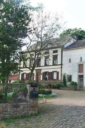 620 m
Farmhouses and Farm Buildings
Ehemaliger Echternacher Hof
Field Names
Am Wolfsberg
Field Names
In der Acht
Field Names