Field Names · Renaissance
Marienwies


© GeoBasis-DE / LVermGeoRP, dl-de/by-2-0
There is no picture of this object yet. Do you have a photo that you would like to make available to the Kulturdatenbank? Submit a picture
Description
This description is only available in German.
Translate with Google opens this page in Google Translate (external service)
Marienwies und unter Marienwies, 1586 zu Marien vor den Wallern, zu Marien oben ahn der Marienwies, zu Marien obent dem Frohnvelt, 1710 zu Mareyen, vgl. auch Battsuben. [1]
Classification
- Subject area
- History
- Category
- Field Names
- Date
- 1586
- Period
- Renaissance
Location
- District
- Trier-Saarburg
- Collective municipality
- Trier-Land
- Municipality
- Welschbillig
- Street
- Marienstraße
- Field name
- Marienwies
- Coordinates
- WGS 84: 49.858075, 6.571910 (Position: exact) WGS 84: 49° 51′ 29.1″ N, 6° 34′ 18.9″ E UTM 32 (ETRS89): E 325483 · N 5525679
Sources
Data sources
- [1] Eduard Lichter: Welschbillig und Umgebung. Ein Beitrag zur Geschichte der Südwesteifel. 1977. Schriftenreihe Ortschroniken des Trierer Landes, Band 14.
On the internet
Last edited: 9 Feb 2013 Object ID: 26204
https://kulturdb.de/en/objekt/26204-welschbillig-marienwies
Nearby
The nearest objects
Field Names
Im Rautenberg
 250 m
Wayside Shrines and Stations of the Cross
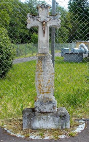
Schaftkreuz
Mills
Ehemalige Broder- oder Kellersmühle
Field Names
Auf den Wallern
Washing Places
Ehemaliger Bleichplatz für Wäsche
Town Fortifications
Ehemaliger Dreiviertelrundturm (1)
Field Names
Unter Hofhaus
Field Names