Coats of Arms · 20th Century
Wappen der Stadt Konz

Classification
- Subject area
- History
- Category
- Coats of Arms
- Date
- 1950
- Period
- 20th Century
Location
- District
- Trier-Saarburg
- Town
- Konz
- Field name
- Ortslage
- Coordinates
- WGS 84: 49.710644, 6.596780 (Position: exact) WGS 84: 49° 42′ 38.3″ N, 6° 35′ 48.4″ E UTM 32 (ETRS89): E 326745 · N 5509232
Sources
On the internet
Picture credits
- Picture 1: Gemeinfrei, https://commons.wikimedia.org/w/index.php?curid=114599891
Last edited: 3 Sep 2022 Object ID: 2642
https://kulturdb.de/en/objekt/2642-konz-wappen-der-stadt-konz
Nearby
The nearest objects
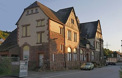 less than 10 m
Railways
Bahnhofsgebäude Karthaus
No picture
less than 10 m
Jewish History
Jüdische Geschichte
No picture
30 m
Deserted Settlements
Merzlich
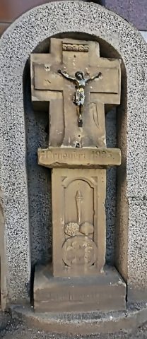 90 m
Wayside Shrines and Stations of the Cross
Schaftkreuz
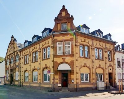 200 m
Town Houses and Commercial Buildings
Eckwohnhaus mit Gaststätte und Saalbau
No picture
200 m
Town Houses and Commercial Buildings
Doppelwohnhaus
 230 m
Fortresses and Bunkers
Westwall - Bunkertyp nicht eindeutig erkennbar
 230 m
Fortresses and Bunkers