Wayside Shrines and Stations of the Cross · Undated
Wegekreuz

Classification
- Subject area
- Architectural and Art Monuments
- Category
- Religious Buildings
- Object type
- Wayside Shrines and Stations of the Cross
- Date
- Undatiert
- Period
- Undated
Location
- District
- Eifelkreis Bitburg-Prüm
- Collective municipality
- Bitburger Land
- Municipality
- Kyllburgweiler
- Field name
- Bei der obersten Buch
- Coordinates
- WGS 84: 50.058223, 6.610994 (Position: exact) WGS 84: 50° 03′ 29.6″ N, 6° 36′ 39.6″ E UTM 32 (ETRS89): E 329002 · N 5547838
Sources
Data sources
- [1] GeoPortal des Landes Rheinland-Pfalz. http://www.geoportal.rlp.de/
On the internet
bitburgerland.de/og-kyllburgweiler/ortsgemeinde-kyllburgweiler
Picture credits
- Picture 1: © Michael Grün, Trier, 2020.
Last edited: 8 Jan 2020 Object ID: 26436
https://kulturdb.de/en/objekt/26436-kyllburgweiler-wegekreuz
Nearby
The nearest objects
No picture
250 m
Temples, Sanctuaries
Torso einer Diana-Statuette
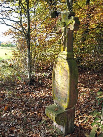 270 m
Wayside Shrines and Stations of the Cross
Gedenkkreuz von 1743
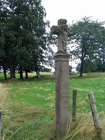 360 m
Wayside Shrines and Stations of the Cross
Schaftkreuz von 1634
No picture
380 m
Field Names
In der Steffensdell
No picture
400 m
Wayside Shrines and Stations of the Cross
Wegekreuz
No picture
450 m
Field Names
Auf dem Schlagrechen
No picture
480 m
Settlements
Römische Gebäudereste
No picture
550 m
Cremation Graves