Aviation · 20th Century
Ehemaliger Feldflugplatz


© GeoBasis-DE / LVermGeoRP, dl-de/by-2-0
There is no picture of this object yet. Do you have a photo that you would like to make available to the Kulturdatenbank? Submit a picture
Description
This description is only available in German.
Translate with Google opens this page in Google Translate (external service)
Die Wehrmacht bzw. die Luftwaffe des Dritten Reichs unterhielt in Büdesheim einen kleinen Feldflugplatz.
Dieser lag auf dem Gebiet "Auf Erden" an der Straße nach Hillesheim und Oos, nordöstlich der heutigen Bundesstraße 410 und hatte wohl auch große Bedeutung bei der Westoffensive (Fall Gelb). Gleich am Anfang, gegenüber dem Wegekreuz (Wanderparkplatz Hillesheimer Str.) standen viele Baracken bzw. Unterkünfte. Wo heute die Halle der Gemeinde Büdesheim steht, war damals das Tanklager. Auch wurde der ehemalige Bahnhof von Büdesheim für die Versorgung des Feldflugplatzes genutzt.
[...]
Anfang der 40iger Jahre soll der Flugplatz von der Wehrmacht aufgegeben worden sein. [1]
Classification
- Subject area
- Architectural and Art Monuments
- Object type
- Aviation
- Date
- 1940er Jahre
- Period
- 20th Century
Location
- District
- Eifelkreis Bitburg-Prüm
- Collective municipality
- Prüm
- Municipality
- Büdesheim
- Field name
- Auf Erden
- Coordinates
- WGS 84: 50.218428, 6.563419 (Position: exact) WGS 84: 50° 13′ 06.3″ N, 6° 33′ 48.3″ E UTM 32 (ETRS89): E 326179 · N 5565758
Sources
Data sources
On the internet
Last edited: 26 Mar 2013 Object ID: 26540
https://kulturdb.de/en/objekt/26540-buedesheim-ehemaliger-feldflugplatz
Nearby
The nearest objects
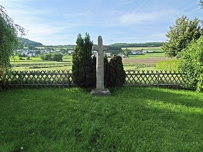 300 m
Wayside Shrines and Stations of the Cross
Balkenkreuz
Wayside Shrines and Stations of the Cross
Nischenkreuz
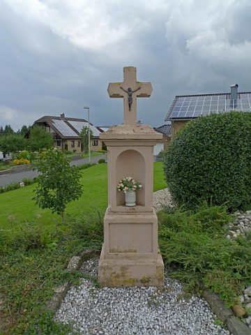 340 m
Wayside Shrines and Stations of the Cross
Kreuz
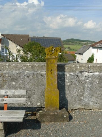 380 m
Wayside Shrines and Stations of the Cross
Stationenweg - 9. Station
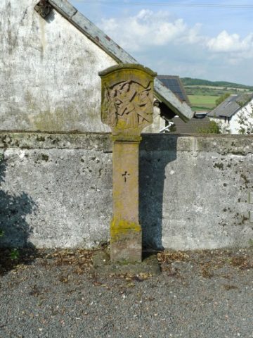 380 m
Wayside Shrines and Stations of the Cross
Stationenweg - 8. Station
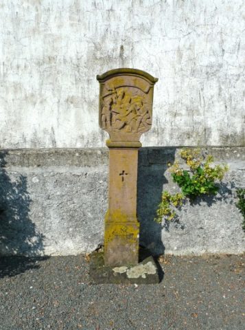 380 m
Wayside Shrines and Stations of the Cross
Stationenweg - 7. Station
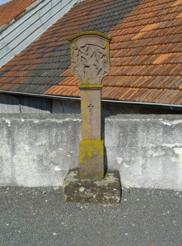 390 m
Wayside Shrines and Stations of the Cross
Stationenweg - 6. Station
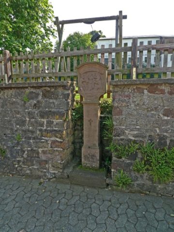 400 m
Wayside Shrines and Stations of the Cross