Settlements · Celtic / Roman Period
Keltische Siedlung Senia


© GeoBasis-DE / LVermGeoRP, dl-de/by-2-0
There is no picture of this object yet. Do you have a photo that you would like to make available to the Kulturdatenbank? Submit a picture
Description
This description is only available in German.
Translate with Google opens this page in Google Translate (external service)
Auf Heiligkreuzer Gebiet bestanden zu römischer Zeit noch zwei Siedlungen mit keltischen Namen, Senia, nach dem 1906 die Seniastraße genannt wurde, und Aveta im Bereich der heutigen Straße Am Bach. [1]
Classification
- Subject area
- Archaeological Monuments
- Category
- Settlements
- Object type
- Settlements
- Date
- Circa 500 vor Chr. bis circa 500 nach Chr.
- Period
- Celtic / Roman Period
Location
- District
- City of Trier
- Collective municipality
- Verbandsfreie Gemeinde Trier
- Town
- Trier
- Locality / location
- Heiligkreuz
- Street
- Seniastraße
- Field name
- Hinter Löwenbrücken
- Coordinates
- WGS 84: 49.744076, 6.636650 (Position: presumed) WGS 84: 49° 44′ 38.7″ N, 6° 38′ 11.9″ E UTM 32 (ETRS89): E 329736 · N 5512857
Sources
Data sources
- [1] Denkmaltopographie Bundesrepublik Deutschland. Kulturdenkmäler in Rheinland-Pfalz. Band 17.2 Stadt Trier – Stadterweiterung und Stadtteile. Wernersche Verlagsgesellschaft mbH, Worms. ISBN 978-3-88462-275-9 (1. Auflage 2009)
On the internet
Last edited: 7 Apr 2013 Object ID: 26594
https://kulturdb.de/en/objekt/26594-trier-keltische-siedlung-senia
Nearby
The nearest objects
Street Names
Leoplatz
Railways
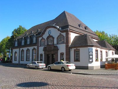
Haltestelle Löwenbrücken
 100 m
Railways
Bahnhof Trier-Süd
Jewish History
Jüdische Geschichte Löwenbrücken
Street Names
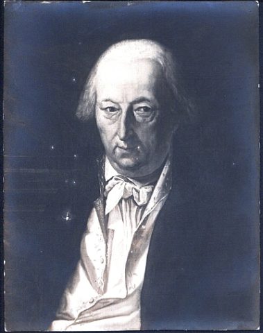
Seniastraße
 140 m
Street Names
Reckingstraße
 140 m
Maples
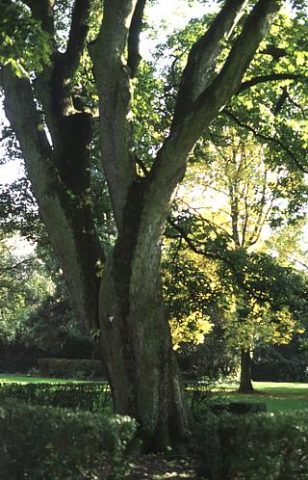
Bergahorn im Caspary-Park
Monastic Complexes