Wayside Shrines and Stations of the Cross · Undated
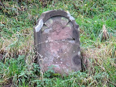
Schrifttafel
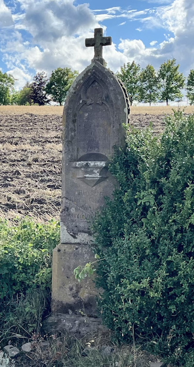


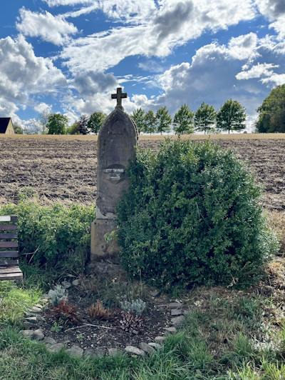
Classification
- Subject area
- Architectural and Art Monuments
- Category
- Religious Buildings
- Object type
- Wayside Shrines and Stations of the Cross
- Date
- Undatiert
- Period
- Undated
Location
- District
- Eifelkreis Bitburg-Prüm
- Collective municipality
- Arzfeld
- Municipality
- Krautscheid
- Locality / location
- Ringhuscheid
- Field name
- Im Berg
- Coordinates
- WGS 84: 50.061354, 6.334451 (Position: exact) WGS 84: 50° 03′ 40.9″ N, 6° 20′ 04.0″ E UTM 32 (ETRS89): E 309223 · N 5548856
Sources
Data sources
- [1] GeoPortal des Landes Rheinland-Pfalz. http://www.geoportal.rlp.de/
On the internet
Picture credits
Last edited: 10 Sep 2026 Object ID: 26630
https://kulturdb.de/en/objekt/26630-krautscheid-schrifttafel
Nearby
The nearest objects
 200 m
Wayside Shrines and Stations of the Cross
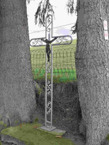
Wegekreuz
No picture
380 m
Place Names / Local History
Geschichte und Brauchtum
 410 m
Viewpoints
Aussichtspunkt damals und heute
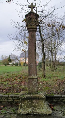 430 m
Wayside Shrines and Stations of the Cross
Hoher Bildstock
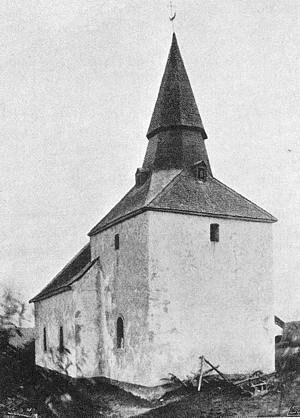 460 m
Catholic Churches
Sankt Valentin
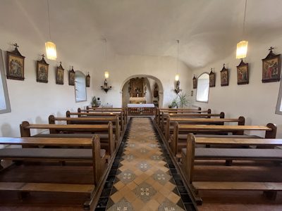 460 m
Catholic Churches
Sankt Valentin - Innenausstattung
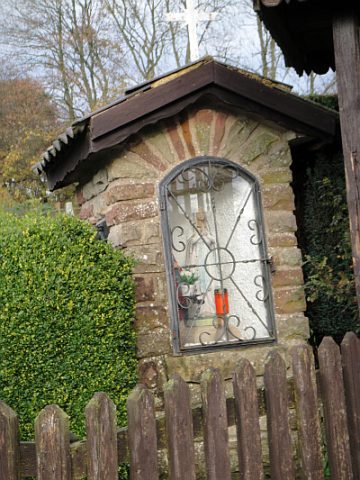 560 m
Wayside Shrine Houses
Heiligenhäuschen
 660 m
Wayside Shrines and Stations of the Cross