Chapels · Historicism / Art Nouveau
Laurentiuskapelle


Description
This description is only available in German.
Translate with Google opens this page in Google Translate (external service)
Laurentiuskapelle, Ende des 19. Jahrhunderts. [1]
Classification
- Subject area
- Architectural and Art Monuments
- Category
- Religious Buildings
- Object type
- Chapels
- Date
- Ende des 19. Jahrhunderts
Location
- District
- Trier-Saarburg
- Collective municipality
- Trier-Land
- Municipality
- Igel
- Locality / location
- Liersberg
- Street
- Mühlenstraße 29
- Field name
- Beim Laurentiuskreuz
- Coordinates
- WGS 84: 49.720588, 6.535946 (Position: exact) WGS 84: 49° 43′ 14.1″ N, 6° 32′ 09.4″ E UTM 32 (ETRS89): E 322396 · N 5510480
Sources
Data sources
- [1] Seite „Liste der Kulturdenkmäler in Igel (Mosel)“. In: Wikipedia, Die freie Enzyklopädie. Bearbeitungsstand: 23. August 2018, 13:54 UTC. URL: https://de.wikipedia.org/w/index.php?title=Liste_der_Kulturdenkm%C3… (Abgerufen: 8. Mai 2019, 08:33 UTC)
On the internet
Picture credits
Last edited: 12 Oct 2020 Object ID: 26682
https://kulturdb.de/en/objekt/26682-igel-laurentiuskapelle
Nearby
The nearest objects
No picture
100 m
Fortresses and Bunkers
Westwall - Maschinengewehr-Schartenstand
 130 m
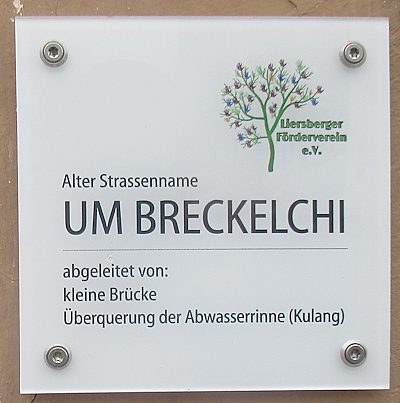
Street Names
UM BRECKELCHI
 150 m
Settlements
Römische Siedlung
 160 m
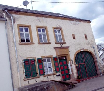
Farmhouses and Farm Buildings
Quereinhaus
 170 m
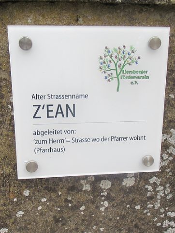
Street Names
Z'EAN
No picture
190 m
Christian Cemeteries
Sankt Laurentius - alter Kirchhof
 200 m
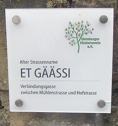
Street Names
ET GÄÄSSI
No picture
270 m
Fortresses and Bunkers