Wayside Shrines and Stations of the Cross · Historicism / Art Nouveau
Wegekreuz an der Sauer


Classification
- Subject area
- Architectural and Art Monuments
- Category
- Religious Buildings
- Object type
- Wayside Shrines and Stations of the Cross
- Date
- 1885
Location
- District
- Trier-Saarburg
- Collective municipality
- Trier-Land
- Municipality
- Langsur
- Street
- Sauerstraße 7
- Field name
- Ortslage
- Coordinates
- WGS 84: 49.725440, 6.496280 (Position: exact) WGS 84: 49° 43′ 31.6″ N, 6° 29′ 46.6″ E UTM 32 (ETRS89): E 319555 · N 5511113
Sources
Data sources
- [1] Dr. Peter Stolz, Trier, 2021.
On the internet
Picture credits
Last edited: 24 Oct 2021 Object ID: 26698
https://kulturdb.de/en/objekt/26698-langsur-wegekreuz-an-der-sauer
Nearby
The nearest objects
No picture
40 m
Fortresses and Bunkers
Westwall - Maschinengewehr-Doppelschartenstand
No picture
90 m
Fortresses and Bunkers
Westwall - Maschinengewehr-Doppelschartenstand
No picture
110 m
Fortresses and Bunkers
Westwall - Maschinengewehr-Doppelschartenstand
No picture
140 m
Wayside Shrines and Stations of the Cross
Wegekreuz
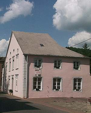 170 m
Town Houses and Commercial Buildings
Breitgiebelhaus
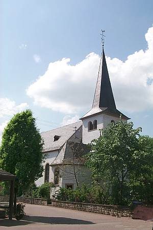 200 m
Catholic Churches
Sankt Katharina
No picture
220 m
Place Names / Local History
Ortsname / Ortsgeschichte
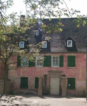 220 m
Farmhouses and Farm Buildings