Wayside Shrines and Stations of the Cross · 20th Century
Wegekreuz


Description
This description is only available in German.
Translate with Google opens this page in Google Translate (external service)
Steinernes Wegekreuz mit Baumstamm nachempfundenen Verzierungen, Jahreszahl 1928 im 2. Sockel eingemeißelt. [1]
Classification
- Subject area
- Architectural and Art Monuments
- Category
- Religious Buildings
- Object type
- Wayside Shrines and Stations of the Cross
- Date
- 1928
- Period
- 20th Century
Location
- District
- Trier-Saarburg
- Town
- Konz
- Locality / location
- Kommlingen
- Field name
- Ober dem Konzer Weg
- Coordinates
- WGS 84: 49.683970, 6.601760 (Position: exact) WGS 84: 49° 41′ 02.3″ N, 6° 36′ 06.3″ E UTM 32 (ETRS89): E 327009 · N 5506255
Sources
Data sources
- [1] Michael Grün, Trier, 2020.
On the internet
Picture credits
Last edited: 2 Jul 2020 Object ID: 26754
https://kulturdb.de/en/objekt/26754-konz-wegekreuz
Nearby
The nearest objects
Fortresses and Bunkers
Westwall - Maschinengewehr-Schartenstand
Fortresses and Bunkers
Westwall - Maschinengewehr-Schartenstand
Fortresses and Bunkers
Westwall - Artillerie Beobachter-Stand
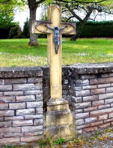 310 m
Wayside Shrines and Stations of the Cross
Wegekreuz
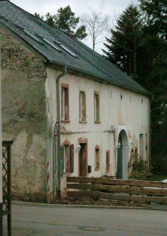 350 m
Farmhouses and Farm Buildings
Quereinhaus
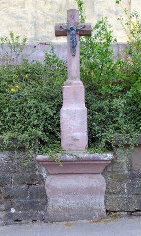 380 m
Wayside Shrines and Stations of the Cross
Wegekreuz in der Kirchhofmauer
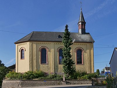 380 m
Catholic Churches
Sankt Donatus und Sankt Katharina
Fortresses and Bunkers