Wayside Shrines and Stations of the Cross · Undated
Wegekreuz(rest)


Description
This description is only available in German.
Translate with Google opens this page in Google Translate (external service)
Auf Höhenpunkt 305,1 Meter über NHN. [1]
Classification
- Subject area
- Architectural and Art Monuments
- Category
- Religious Buildings
- Object type
- Wayside Shrines and Stations of the Cross
- Date
- Undatiert
- Period
- Undated
Location
- District
- Eifelkreis Bitburg-Prüm
- Collective municipality
- Verbandsfreie Gemeinde Bitburg
- Town
- Bitburg
- Locality / location
- Mötsch
- Field name
- Allert
- Coordinates
- WGS 84: 49.973110, 6.574050 (Position: exact) WGS 84: 49° 58′ 23.2″ N, 6° 34′ 26.6″ E UTM 32 (ETRS89): E 326051 · N 5538462
Sources
Data sources
- [1] GeoPortal des Landes Rheinland-Pfalz. http://www.geoportal.rlp.de/
On the internet
Picture credits
Last edited: 12 Sep 2022 Object ID: 26776
https://kulturdb.de/en/objekt/26776-bitburg-wegekreuz-rest
Nearby
The nearest objects
No picture
270 m
Field Names
Aufm Krummenberg
No picture
370 m
Settlements
Eisenzeitliche Siedlung
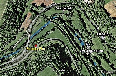 430 m
Ancient Field Systems
Fossile Flur
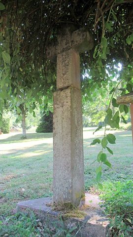 510 m
Wayside Shrines and Stations of the Cross
Wegekreuz
No picture
610 m
Roman Tombs
Frührömisches Gräberfeld
 640 m
Settlements
Römische Siedlungsstelle
 670 m
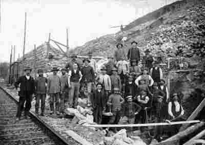
Railways
Eifelbahn (Denkmalzone)
710 m
Railways