Wayside Shrines and Stations of the Cross · Renaissance
Kreuzigungsbildstock


Description
This description is only available in German.
Translate with Google opens this page in Google Translate (external service)
Kreuzigungsbildstock; Schaft 1827, Aufsatz bezeichnet 1667 . [1]
Classification
- Subject area
- Architectural and Art Monuments
- Category
- Religious Buildings
- Object type
- Wayside Shrines and Stations of the Cross
- Date
- 1667
- Period
- Renaissance
Location
- District
- Trier-Saarburg
- Collective municipality
- Saarburg-Kell
- Municipality
- Ockfen
- Street
- Ecke Weinbergstraße/Bocksteinstraße
- Field name
- Im Jung auf Berghaus
- Coordinates
- WGS 84: 49.622557, 6.590002 (Position: exact) WGS 84: 49° 37′ 21.2″ N, 6° 35′ 24.0″ E UTM 32 (ETRS89): E 325942 · N 5499456
Sources
Data sources
- [1] Seite „Liste der Kulturdenkmäler in Ockfen“. In: Wikipedia – Die freie Enzyklopädie. Bearbeitungsstand: 12. November 2023, 20:11 UTC. URL: https://de.wikipedia.org/w/index.php?title=Liste_der_Kulturdenkm%C3… (Abgerufen: 20. November 2023, 18:56 UTC).
On the internet
Picture credits
Last edited: 20 Nov 2023 Object ID: 26815
https://kulturdb.de/en/objekt/26815-ockfen-kreuzigungsbildstock
Nearby
The nearest objects
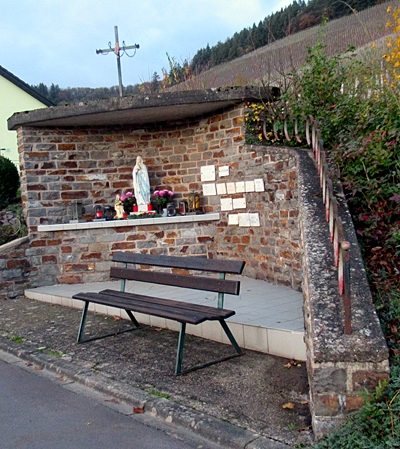 less than 10 m
Chapels
Marienkapelle
No picture
40 m
Field Names
Im Schmertriesch
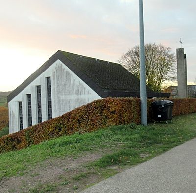 100 m
Chapels
Friedhofskapelle
No picture
110 m
Field Names
Auf Schmertriesch
No picture
210 m
Field Names
Bachbungert
No picture
380 m
Fortresses and Bunkers
Westwall - MG-Panzerabw.kanonen-Schartenstand
No picture
380 m
Field Names
Beim Kalk
No picture
420 m
Fortresses and Bunkers