Field Names · Renaissance
Cunoweiher


© GeoBasis-DE / LVermGeoRP, dl-de/by-2-0
There is no picture of this object yet. Do you have a photo that you would like to make available to the Kulturdatenbank? Submit a picture
Description
This description is only available in German.
Translate with Google opens this page in Google Translate (external service)
Straßenzug vom Fruchtmarkt in Richtung Mannebach. 1680 im Pfarrarchiv von Sankt Laurentius genannt; vor 1518 unter der Bezeichnung "in Coenenwehir" gebraucht. [1]
Classification
- Subject area
- History
- Category
- Field Names
- Date
- 1518
- Period
- Renaissance
Location
- District
- Trier-Saarburg
- Collective municipality
- Saarburg-Kell
- Town
- Saarburg
- Field name
- Kunoweiher
- Coordinates
- WGS 84: 49.609184, 6.546197 (Position: exact) WGS 84: 49° 36′ 33.1″ N, 6° 32′ 46.3″ E UTM 32 (ETRS89): E 322730 · N 5498071
Sources
Data sources
- [1] 1000 Jahre Saarburg. 964-1964. Bernhard Brost: die Saarburger Flurnamen.
On the internet
Last edited: 15 May 2013 Object ID: 26911
https://kulturdb.de/en/objekt/26911-saarburg-cunoweiher
Nearby
The nearest objects
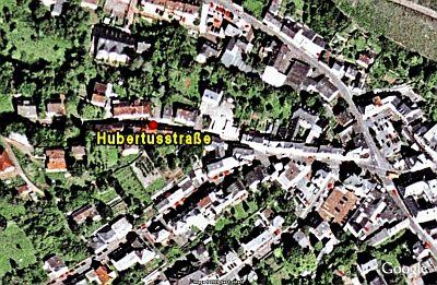 70 m
Historic Townscapes
Hubertusstraße
Town Houses and Commercial Buildings
Portal und Türblatt
Chapels
Hubertuskapelle
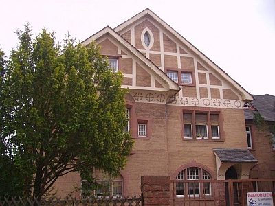 130 m
Town Houses and Commercial Buildings
Villa
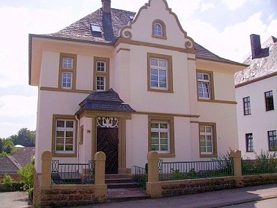 160 m
Town Houses and Commercial Buildings
Wohnhaus
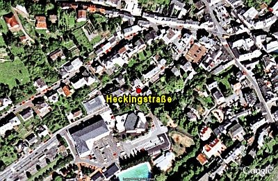 200 m
Historic Townscapes
Heckingstraße
War Memorials
Kriegergedächtnis
Field Names