Field Names · Gothic
Marksenfenn


© GeoBasis-DE / LVermGeoRP, dl-de/by-2-0
There is no picture of this object yet. Do you have a photo that you would like to make available to the Kulturdatenbank? Submit a picture
Description
This description is only available in German.
Translate with Google opens this page in Google Translate (external service)
Venn: althochdeutsch fennî, fenna für "Sumpf", mittelhochdeutsch in rheinischen Quellen venne nach [venna est aqua palustra, unde pisces capiuntur Prüm 1222]= Sumpfland mit Graswuchs, sumpfiges Ödland, gewöhnlich im Walde. [1]
Classification
- Subject area
- History
- Category
- Field Names
- Date
- Circa 1100 bis circa 1500
- Period
- Gothic
Location
- District
- Eifelkreis Bitburg-Prüm
- Collective municipality
- Prüm
- Municipality
- Olzheim
- Field name
- Marksenfenn
- Coordinates
- WGS 84: 50.275545, 6.416752 (Position: exact) WGS 84: 50° 16′ 32.0″ N, 6° 25′ 00.3″ E UTM 32 (ETRS89): E 315938 · N 5572460
Sources
Data sources
- [1] Rheinisches Wörterbuch http://woerterbuchnetz.de/RhWB/?lemid=RV00073
On the internet
Last edited: 15 May 2013 Object ID: 26945
https://kulturdb.de/en/objekt/26945-olzheim-marksenfenn
Nearby
The nearest objects
Archaeological Conservation Areas
Grabungsschutzgebiet Mineralquelle Marksenfenn
Wayside Shrines and Stations of the Cross
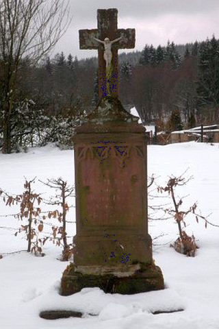
Wegekreuz
Field Names
Hinter Knaufspesch
Chapels
Filialkapelle der heiligen Maria
Place Names / Local History
Ortsgeschichte Knaufspesch
Find Sites
Römischer Fundort
 1.0 km
Wayside Shrines and Stations of the Cross
Historisierendes Sockelkreuz
Field Names