Road Transport · Celtic / Roman Period
Römerstraße


Classification
- Subject area
- Archaeological Monuments
- Category
- Economy, Trade and Transport
- Object type
- Road Transport
- Date
- Circa 500 vor Chr. bis circa 500 nach Chr.
- Period
- Celtic / Roman Period
Location
- District
- Bernkastel-Wittlich
- Collective municipality
- Bernkastel-Kues
- Municipality
- Wintrich
- Field name
- Weinplatz
- Coordinates
- WGS 84: 49.829932, 7.007423 (Position: exact) WGS 84: 49° 49′ 47.8″ N, 7° 00′ 26.7″ E UTM 32 (ETRS89): E 356700 · N 5521626
Sources
Data sources
On the internet
Straßenbau zur Römerzeit - Medienzentrum Daun
Picture credits
Last edited: 6 Nov 2000 Object ID: 2702
https://kulturdb.de/en/objekt/2702-wintrich-roemerstrasse
Nearby
The nearest objects
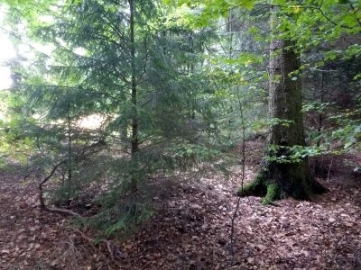 320 m
Road Transport
Weinplatz
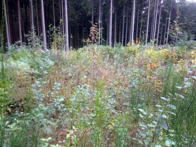 580 m
Burial Mounds
Hügelgrab
No picture
790 m
Field Names
Auf Hundsland
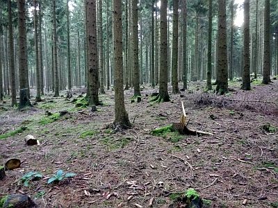 860 m
Burial Mounds
Hügelgrab an der Landesstraße 157
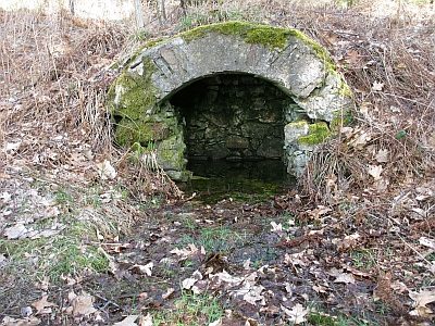 900 m
Springs
Richterborn
No picture
1.0 km
Spring Fens
Moosbruch
No picture
1.3 km
Field Names
Schönbornheck
 1.4 km
Groups of Trees