Deserted Settlements · Renaissance
Wüstung Rodenbüsch


Description
This description is only available in German.
Translate with Google opens this page in Google Translate (external service)
1152 bestätigt Papst Eugen III. die Rechte der Abtei Himmerod, unter diesen Rodesbusch. [1]
Classification
- Subject area
- Archaeological Monuments
- Category
- Settlements
- Object type
- Deserted Settlements
- Date
- Circa 1500 bis circa 1700
- Period
- Renaissance
Location
- District
- Bernkastel-Wittlich
- Collective municipality
- Wittlich-Land
- Municipality
- Bettenfeld
- Locality / location
- Hof Rodenbüsch
- Field name
- Auf Rodenbüsch
- Coordinates
- WGS 84: 50.073756, 6.757476 (Position: exact) WGS 84: 50° 04′ 25.5″ N, 6° 45′ 26.9″ E UTM 32 (ETRS89): E 339538 · N 5549240
Sources
Data sources
- [1] Janssen, W.: Studien zur Wüstungsfrage im fränkischen Altsiedelland zwischen Rhein, Mosel und Eifelnordrand. 2 Bände. Text u. Katalog, 1975.
On the internet
Picture credits
Last edited: 14 May 2012 Object ID: 277
https://kulturdb.de/en/objekt/277-bettenfeld-wuestung-rodenbuesch
Nearby
The nearest objects
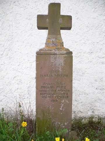 20 m
Wayside Shrines and Stations of the Cross
Kreuz an der Kapelle Rodenbüsch
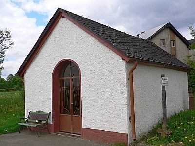 20 m
Chapels
Rodenbüscher Kapelle
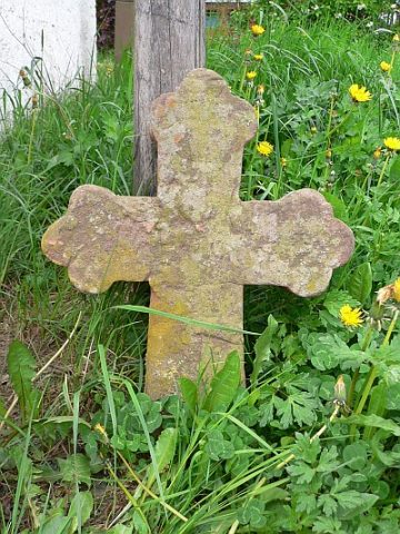 20 m
Wayside Shrines and Stations of the Cross
Kreuzfragment neben der Kapelle Rodenbüsch
Field Names
Im Nisterpesch
Field Names
Auf Rodenbüsch
Field Names
Auf dem Hundsgraben
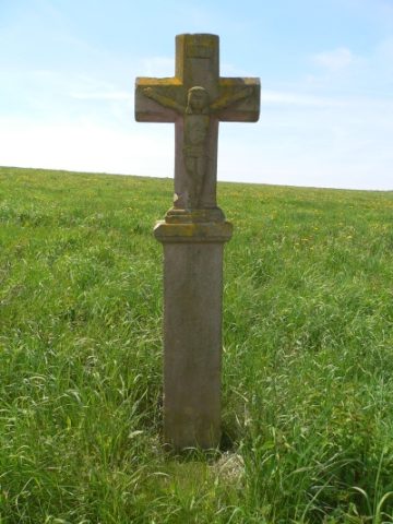 390 m
Wayside Shrines and Stations of the Cross
Schaftkreuz 400 Meter südlich Hof Rodenbüsch
Wayside Shrines and Stations of the Cross