Field Names · Gothic
In den Hanfgärten

Description
This description is only available in German.
Translate with Google opens this page in Google Translate (external service)
Classification
- Subject area
- History
- Category
- Field Names
- Date
- Circa 1100 bis circa 1500
- Period
- Gothic
Location
- District
- Bernkastel-Wittlich
- Collective municipality
- Thalfang am Erbeskopf
- Municipality
- Etgert
- Field name
- In den Hanfgärten
- Coordinates
- WGS 84: 49.780164, 7.022682 (Position: exact) WGS 84: 49° 46′ 48.6″ N, 7° 01′ 21.7″ E UTM 32 (ETRS89): E 357651 · N 5516065
Sources
Data sources
- [1] Landesgeschichtliches Informationssystem Hessen.http://cgi-host.uni-marburg.de/~hlgl/mhfb/id.cgi?lines=0&ex=rs&tabl…
On the internet
bernkastel-wittlich.de/Tourismus/t-frame.htm
Picture credits
- Picture 1: Wikimedia Commons, dem freien Medienarchiv Wikimedia, 2013.
Last edited: 31 Dec 2018 Object ID: 27850
https://kulturdb.de/en/objekt/27850-etgert-in-den-hanfgaerten
Nearby
The nearest objects
No picture
130 m
Place Names / Local History
Die Mark Thalfang
No picture
140 m
Field Names
In der Steinkaul
No picture
200 m
Field Names
Auf der Steinkaul
No picture
240 m
Field Names
In oberst Kahlenborn
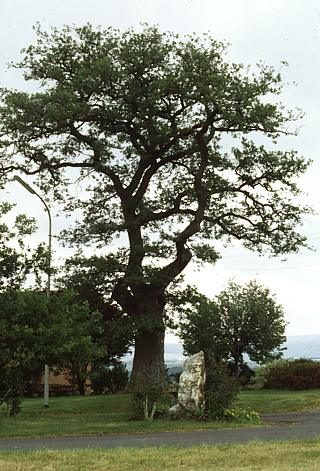 270 m
Oaks
Eiche
No picture
570 m
Field Names
Auf Hegenberg
No picture
580 m
Field Names
In der Schlimmfuhr
No picture
680 m
Field Names