Field Names · Gothic
Hanfstücker

Description
This description is only available in German.
Translate with Google opens this page in Google Translate (external service)
Classification
- Subject area
- History
- Category
- Field Names
- Date
- Circa 1100 bis circa 1500
- Period
- Gothic
Location
- District
- Trier-Saarburg
- Collective municipality
- Hermeskeil
- Municipality
- Naurath (Wald)
- Locality / location
- Unternaurath
- Field name
- Hanfstücker
- Coordinates
- WGS 84: 49.761143, 6.886627 (Position: exact) WGS 84: 49° 45′ 40.1″ N, 6° 53′ 11.9″ E UTM 32 (ETRS89): E 347797 · N 5514217
Sources
Data sources
- [1] Landesgeschichtliches Informationssystem Hessen.http://cgi-host.uni-marburg.de/~hlgl/mhfb/id.cgi?lines=0&ex=rs&tabl…
- [2] Heinrich Dittmaier: Rheinische Flurnamen. Ludwig Röhrscheid Verlag, Bonn, 1963.
On the internet
Picture credits
- Picture 1: Wikimedia Commons, dem freien Medienarchiv Wikimedia, 2013.
Last edited: 31 Dec 2018 Object ID: 27866
https://kulturdb.de/en/objekt/27866-naurath-wald-hanfstuecker
Nearby
The nearest objects
No picture
80 m
Field Names
Im Pferdebungert
 200 m
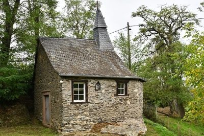
Chapels
Walburgakapelle
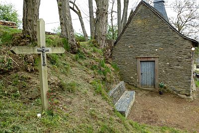 210 m
Wayside Shrines and Stations of the Cross
Holzkreuz vor der Walburgakapelle
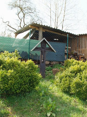 280 m
Wayside Shrines and Stations of the Cross
Holzkreuz mit Schutzdach
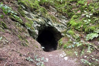 300 m
Extraction and Processing of Raw Materials
Schieferbruch
 320 m
Field Names
Im Beiengarten
No picture
330 m
Field Names
Auf der Acht
No picture
430 m
Field Names