Deserted Settlements · Renaissance
Wüstung Wellerscheid

Classification
- Subject area
- Archaeological Monuments
- Category
- Settlements
- Object type
- Deserted Settlements
- Date
- Circa 1500 bis circa 1700
- Period
- Renaissance
Location
- District
- Bernkastel-Wittlich
- Collective municipality
- Wittlich-Land
- Municipality
- Bettenfeld
- Field name
- Auf dem Kirchenberg
- Coordinates
- WGS 84: 50.079712, 6.771997 (Position: exact) WGS 84: 50° 04′ 47.0″ N, 6° 46′ 19.2″ E UTM 32 (ETRS89): E 340597 · N 5549871
Sources
Data sources
- [1] Janssen, W.: Studien zur Wüstungsfrage im fränkischen Altsiedelland zwischen Rhein, Mosel und Eifelnordrand. 2 Bände. Text u. Katalog, 1975.
On the internet
Picture credits
- Picture 1: Google Earth
Last edited: 17 Apr 2001 Object ID: 280
https://kulturdb.de/en/objekt/280-bettenfeld-wuestung-wellerscheid
Nearby
The nearest objects
No picture
100 m
Field Names
Unten vor dem Hasen
No picture
210 m
Field Names
Vor dem Hasen
No picture
210 m
Field Names
In der Sauerwies
No picture
250 m
Field Names
Im Bungertswieschen
No picture
390 m
Field Names
Beim Deiselborn
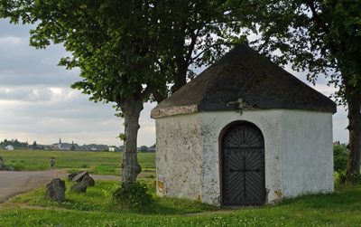 400 m
Chapels
Sogenannte Herz-Jesu-Kapelle
No picture
410 m
Field Names
Auf der Kehr
No picture
510 m
Field Names