Field Names · Gothic
1. Anwand oberm Bungert


© GeoBasis-DE / LVermGeoRP, dl-de/by-2-0
There is no picture of this object yet. Do you have a photo that you would like to make available to the Kulturdatenbank? Submit a picture
Description
This description is only available in German.
Translate with Google opens this page in Google Translate (external service)
Flurname Anwand: 1. 'Streifen an der Schmalseite des Ackers zum Wenden des Pfluges, oder mit dem Recht, diesen Streifen zu benützen';
2. 'schmaler Rasenstreifen rings um den Acker, um diesen noch auf eigenem Grund umgehen zu können'. Mittelhochdeutsch anwande, anwant für 'Grenze; Grenzstreifen; Stelle, wo der Pflug wendet; Acker; Ackerbeet'. [1]
Flurname Bungert - boumgart, althochdeutsch "(Obst)baumgarten": Bangert, Bongert, Bungert, Banggarten, Bonggarten, Bamgarten, Bomgarten, Bumgarten, Bömgarten, Bemgarten. [2]
Classification
- Subject area
- History
- Category
- Field Names
- Date
- Circa 1100 bis circa 1500
- Period
- Gothic
Location
- District
- Trier-Saarburg
- Town
- Konz
- Locality / location
- Kommlingen
- Field name
- 1. Anwand oberm Bungert
- Coordinates
- WGS 84: 49.679474, 6.602758 (Position: exact) WGS 84: 49° 40′ 46.1″ N, 6° 36′ 09.9″ E UTM 32 (ETRS89): E 327065 · N 5505753
Sources
Data sources
- [1] http://namenbuch.gmg.biz/lexikon.aspx?id=12149&lex=A
- [2] Seite "Flurname". In: Wikipedia, Die freie Enzyklopädie. Bearbeitungsstand: 31. Januar 2016, 07:39 UTC. URL: https://de.wikipedia.org/w/index.php?title=Flurname&oldid=150872536 (Abgerufen: 25. Februar 2016, 10:13 UTC)
On the internet
Last edited: 18 Oct 2016 Object ID: 28051
https://kulturdb.de/en/objekt/28051-konz-1-anwand-oberm-bungert
Nearby
The nearest objects
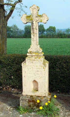 90 m
Wayside Shrines and Stations of the Cross
Wegekreuz
Field Names
2. Anwand oberm Bungert
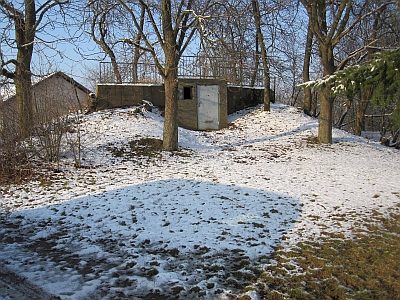 200 m
Fortresses and Bunkers
Westwall - Maschinengewehr-Schartenstand
Vineyard Sites
Ober dem alten Wingertskopf
Field Names
Aufm Bungert
Field Names
In der Eisenkaul
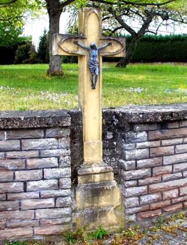 300 m
Wayside Shrines and Stations of the Cross
Wegekreuz
Fortresses and Bunkers