Wayside Shrines and Stations of the Cross · Neoclassicism
Wegekreuz

Classification
- Subject area
- Architectural and Art Monuments
- Category
- Religious Buildings
- Object type
- Wayside Shrines and Stations of the Cross
- Date
- Circa 1780 bis 1850
- Period
- Neoclassicism
Location
- District
- Eifelkreis Bitburg-Prüm
- Collective municipality
- Südeifel
- Municipality
- Altscheid
- Field name
- Auf den Geichen
- Coordinates
- WGS 84: 50.022372, 6.382175 (Position: exact) WGS 84: 50° 01′ 20.5″ N, 6° 22′ 55.8″ E UTM 32 (ETRS89): E 312487 · N 5544402
Sources
Data sources
- [1] Preußische Kartenaufnahme 1:25 000 (1843 - 1878) - Uraufnahme
On the internet
de.wikipedia.org/wiki/Altscheid
Picture credits
- Picture 1: © Michael Fischer, Malberg/Waxweiler, 2016.
Last edited: 21 Feb 2016 Object ID: 28511
https://kulturdb.de/en/objekt/28511-altscheid-wegekreuz
Nearby
The nearest objects
 130 m
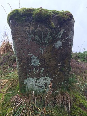
Wayside Shrines and Stations of the Cross
Fragment eines Wegekreuzes
No picture
200 m
Field Names
Auf dem Rodenbüsch
 430 m
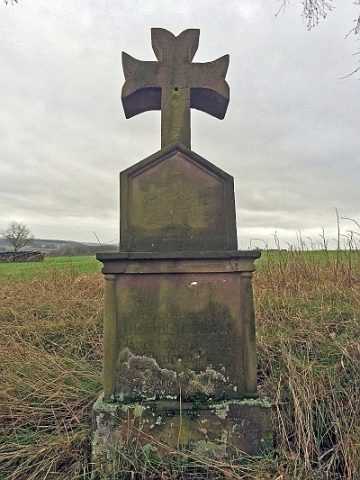
Wayside Shrines and Stations of the Cross
Wegekreuz
No picture
440 m
Vineyard Sites
Vor dem Wingert
No picture
450 m
Field Names
Faulenscheid
No picture
450 m
Field Names
Unten in Kallenborn
No picture
600 m
Field Names
Hinten auf Faulenscheid
No picture
660 m
Field Names