Field Names · Undated
Aufm Scheid am Weg

Description
This description is only available in German.
Translate with Google opens this page in Google Translate (external service)
Scheid - ein Flurname, der sich aus dem Althochdeutschen 'Sceida' erklären lässt. Demnach markiert 'Scheid' eine Trennung, eine Grenze, ein abgetrenntes Flächenstück.
Classification
- Subject area
- History
- Category
- Field Names
- Date
- Undatiert
- Period
- Undated
Location
- District
- Eifelkreis Bitburg-Prüm
- Collective municipality
- Speicher
- Municipality
- Orenhofen
- Field name
- Aufm Scheid
- Coordinates
- WGS 84: 49.884892, 6.638927 (Position: exact) WGS 84: 49° 53′ 05.6″ N, 6° 38′ 20.1″ E UTM 32 (ETRS89): E 330393 · N 5528506
Sources
Data sources
On the internet
Picture credits
- Picture 1: © Michael Grün, Trier, 2023.
Last edited: 24 May 2023 Object ID: 28628
https://kulturdb.de/en/objekt/28628-orenhofen-aufm-scheid-am-weg
Nearby
The nearest objects
Field Names
Bei Teufelseich
Field Names
Aufm Scheid
 180 m
Wayside Shrines and Stations of the Cross
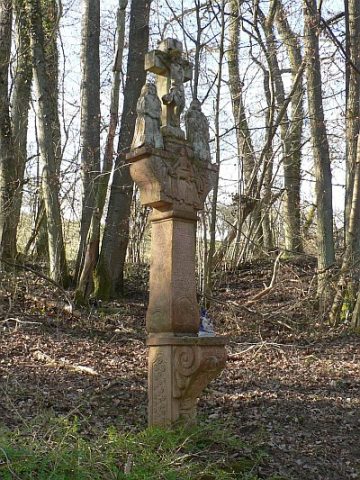
Mordkreuz zwischen Orenhofen und Daufenbach (1)
 180 m
Wayside Shrines and Stations of the Cross
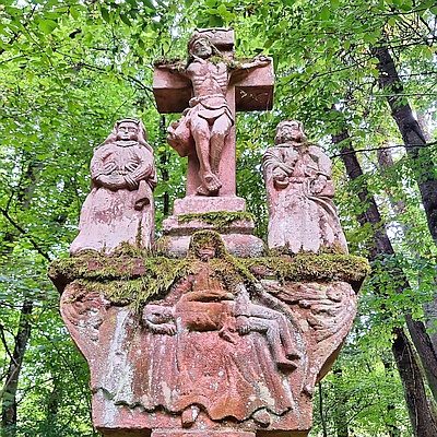
Mordkreuz zwischen Orenhofen und Daufenbach (2)
Field Names
Hinter Teufelseich
Extraction and Processing of Raw Materials
Ehemaliger Steinbruch
 310 m
Settlements
Römische Siedlungsstelle
 390 m
Charcoal Kilns