Jewish Cemeteries · Undated
Jüdischer Friedhof


© GeoBasis-DE / LVermGeoRP, dl-de/by-2-0
There is no picture of this object yet. Do you have a photo that you would like to make available to the Kulturdatenbank? Submit a picture
Description
This description is only available in German.
Translate with Google opens this page in Google Translate (external service)
Leer.
Redaktioneller Nachtrag: Der Friedhof ist mittlerweile aufgelassen, das heißt er wird nicht mehr gepflegt.
Classification
- Subject area
- Natural Features
- Category
- Parks, Gardens and Cemeteries
- Object type
- Jewish Cemeteries
- Date
- Undatiert
- Period
- Undated
Location
- District
- Bernkastel-Wittlich
- Collective municipality
- Traben-Trarbach
- Municipality
- Burg (Mosel)
- Locality / location
- Burg
- Field name
- In der Untergass
- Coordinates
- WGS 84: 50.008956, 7.123955 (Position: within the village) WGS 84: 50° 00′ 32.2″ N, 7° 07′ 26.2″ E UTM 32 (ETRS89): E 365578 · N 5541313
Sources
Data sources
- Dieter Peters und Martina Strehlen: Jüdische Begräbnisstätten, Gedenkstätten in Rheinland-Pfalz. SACHOR Heft 16-2/98. Verlag Matthias Ess, Bleichstr. 25, 55543 Bad Kreuznach.
On the internet
Last edited: 12 Apr 2002 Object ID: 2927
https://kulturdb.de/en/objekt/2927-burg-mosel-juedischer-friedhof
Nearby
The nearest objects
 less than 10 m
Catholic Churches
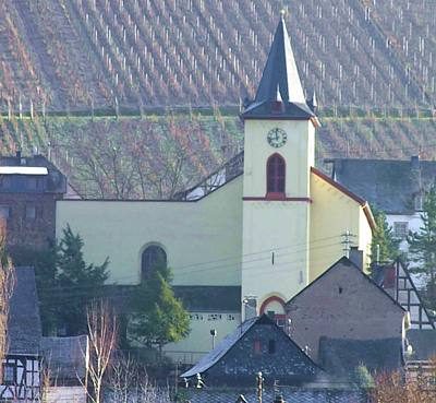
Sankt Briktius
less than 10 m
Catholic Churches
Sankt Briktius - Westturm
Farmhouses and Farm Buildings
Wohnhaus
 40 m
Farmhouses and Farm Buildings
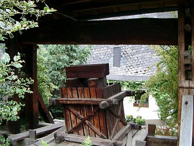
Historische Balkenkelteranlage
Farmhouses and Farm Buildings
Wohnhaus
Farmhouses and Farm Buildings
Wohnhaus
Catering, Inns and Hotels
Sängerheim
Farmhouses and Farm Buildings