Field Names · Undated
Öbelsdriesch


© GeoBasis-DE / LVermGeoRP, dl-de/by-2-0
There is no picture of this object yet. Do you have a photo that you would like to make available to the Kulturdatenbank? Submit a picture
Description
This description is only available in German.
Translate with Google opens this page in Google Translate (external service)
Driesche oder auch Dreesch, Driesch, Triesch, Trischer sind alte Bezeichnungen für eine vorübergehend ackerbaulich ungenutzte Fläche. Beispielsweise wurden in der früheren Feldwirtschaft erschöpfte Äcker regional unterschiedlich als Driesche, im Norden auch als Dreisch oder Dreesch, bezeichnet. Sie lagen dann erst über einige Jahre brach und wurden danach als Weide genutzt, bis sie wieder in Ackerland umgewandelt wurden. So fanden die Bezeichnungen oft auch Eingang in Flurnamen. [1]
Classification
- Subject area
- History
- Category
- Field Names
- Date
- Undatiert
- Period
- Undated
Location
- District
- Bernkastel-Wittlich
- Collective municipality
- Einheitsgemeinde Morbach
- Municipality
- Morbach
- Locality / location
- Rapperath
- Field name
- Öbelsdriesch
- Coordinates
- WGS 84: 49.816203, 7.093143 (Position: exact) WGS 84: 49° 48′ 58.3″ N, 7° 05′ 35.3″ E UTM 32 (ETRS89): E 362825 · N 5519940
Sources
Data sources
- [1] Seite "Driesche". In: Wikipedia, Die freie Enzyklopädie. Bearbeitungsstand: 4. April 2013, 01:11 UTC. URL: http://de.wikipedia.org/w/index.php?title=Driesche&oldid=116916753 (Abgerufen: 3. Juli 2013, 23:25 UTC)
On the internet
morbach.de/leben-arbeiten/unsere-gemeinde/ortsbezirke/ortsbezirk-rapperath
Last edited: 13 Jul 2013 Object ID: 29520
https://kulturdb.de/en/objekt/29520-morbach-oebelsdriesch
Nearby
The nearest objects
 80 m
Mills
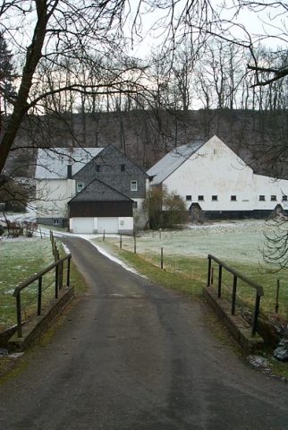
Zerwes-Mühle an der Dhron
 110 m
Groups of Trees
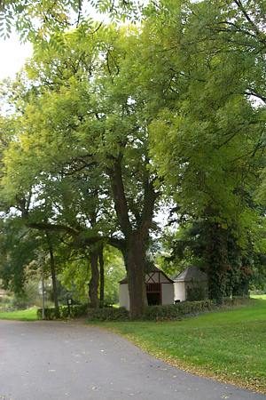
Baumgruppe
War Memorials
Kriegerdenkmal des Ersten Weltkriegs
 110 m
Wayside Shrines and Stations of the Cross
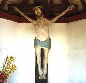
Kruzifixus
 110 m
Chapels
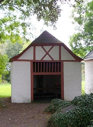
Kapelle von 1741
 120 m
Chapels
Wegekapelle
 130 m
Wayside Shrines and Stations of the Cross
Kreuzweg zur Mariensäule - 1. Station
 150 m
Place Names / Local History