Farmhouses and Farm Buildings · Gothic
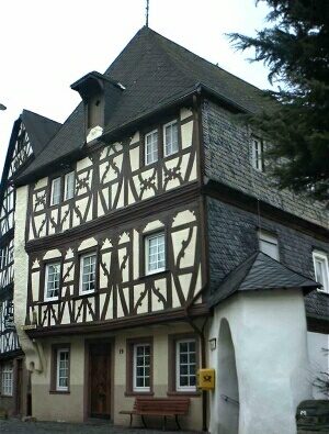
Ehemaliger Sankt Antoniushof


Classification
- Subject area
- Architectural and Art Monuments
- Category
- Residential and Farm Buildings
- Object type
- Farmhouses and Farm Buildings
- Date
- 1475
- Period
- Gothic
Location
- District
- Bernkastel-Wittlich
- Collective municipality
- Traben-Trarbach
- Municipality
- Enkirch
- Street
- Kirchstraße
- Field name
- Ortslage
- Coordinates
- WGS 84: 49.982658, 7.127608 (Position: exact) WGS 84: 49° 58′ 57.6″ N, 7° 07′ 39.4″ E UTM 32 (ETRS89): E 365767 · N 5538383
Sources
Data sources
- Informationstafel am Gebäude
On the internet
Picture credits
Last edited: 14 Mar 2006 Object ID: 2961
https://kulturdb.de/en/objekt/2961-enkirch-ehemaliger-sankt-antoniushof
Nearby
The nearest objects
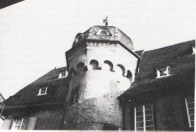 less than 10 m
Farmhouses and Farm Buildings
Escheburg oder Eschelehen
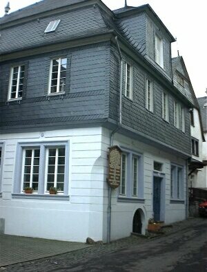 20 m
Town Houses and Commercial Buildings
Truchsesserei
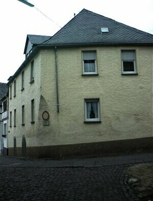 20 m
Schools
Lateinschule
No picture
20 m
Town Houses and Commercial Buildings
Wohnhaus
No picture
20 m
Town Houses and Commercial Buildings
Wohnhaus
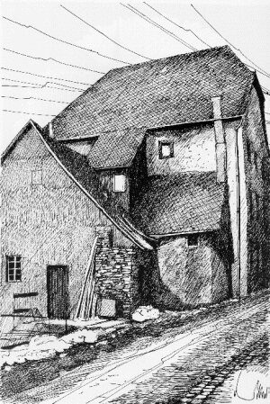 30 m
Farmhouses and Farm Buildings
Hofhaus am Graben
 30 m
Farmhouses and Farm Buildings
Fachwerkhäuser am Wallgraben
No picture
30 m
Town Houses and Commercial Buildings