Field Names · Undated
Schemlingrechseit


© GeoBasis-DE / LVermGeoRP, dl-de/by-2-0
There is no picture of this object yet. Do you have a photo that you would like to make available to the Kulturdatenbank? Submit a picture
Description
This description is only available in German.
Translate with Google opens this page in Google Translate (external service)
Rech - Die seitlichen Hänge nennt der Volksmund "Rech", eine Böschung also, zu deren Füßen Schlehen und Weißdorn wuchsen. [1]
Classification
- Subject area
- History
- Category
- Field Names
- Date
- Undatiert
- Period
- Undated
Location
- District
- Bernkastel-Wittlich
- Collective municipality
- Traben-Trarbach
- Municipality
- Bausendorf
- Locality / location
- Olkenbach
- Field name
- Schemlingrechseit
- Coordinates
- WGS 84: 50.019935, 6.972372 (Position: exact) WGS 84: 50° 01′ 11.8″ N, 6° 58′ 20.5″ E UTM 32 (ETRS89): E 354751 · N 5542817
Sources
Data sources
- [1] Joachim Schröder in: http://www.joachim-schroeder.com/html/flurnamen.html
On the internet
Last edited: 13 Jul 2013 Object ID: 29821
https://kulturdb.de/en/objekt/29821-bausendorf-schemlingrechseit
Nearby
The nearest objects
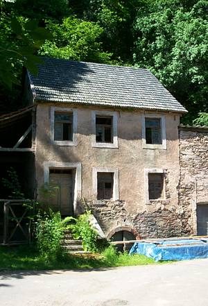 340 m
Mills
Heinzerathermühle im Alftal
Field Names
Weinpesch
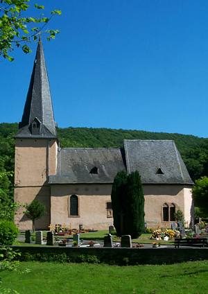 390 m
Catholic Churches
Sankt Bartholomäus
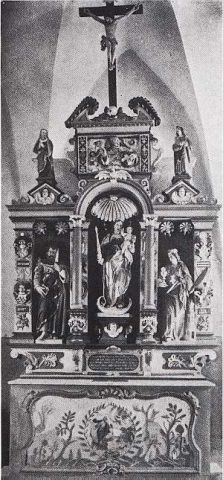 390 m
Altars
Sankt Bartholomäus - Steinaltar
 390 m
Pilgrimage Sites
Sankt Bartholomäus
Field Names
Schulzbüsch
 410 m
Deserted Settlements
Wüstung Heinzerath
Chapels