Wayside Shrines and Stations of the Cross · Undated
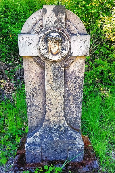
Ehemaliges Wegekreuz
Description
This description is only available in German.
Translate with Google opens this page in Google Translate (external service)
Das frühere Wegekreuz an dieser Stelle wurde duch ein Grabkreuz ersetzt. [1]
Classification
- Subject area
- Architectural and Art Monuments
- Category
- Religious Buildings
- Object type
- Wayside Shrines and Stations of the Cross
- Date
- Undatiert
- Period
- Undated
Location
- District
- Trier-Saarburg
- Collective municipality
- Trier-Land
- Municipality
- Trierweiler
- Locality / location
- Sirzenich
- Street
- Bei Römerstraße 1A
- Field name
- Industriegebiet
- Coordinates
- WGS 84: 49.772094, 6.592281 (Position: exact) WGS 84: 49° 46′ 19.5″ N, 6° 35′ 32.2″ E UTM 32 (ETRS89): E 326640 · N 5516073
Sources
Data sources
- [1] Lothar Zimmer, Trierweiler-Sirzenich und Köln, 2025.
- [2] Topographische Karte 1:25000 von 1969 https://geo4.service24.rlp.de/client/lf/lawa/
On the internet
Picture credits
- Picture 1: © Lothar Zimmer, Trierweiler-Sirzenich und Köln, 2024.
Last edited: 14 Aug 2025 Object ID: 3
https://kulturdb.de/en/objekt/3-trierweiler-ehemaliges-wegekreuz
Nearby
The nearest objects
No picture
20 m
Settlements
Römische Siedlungsstelle
No picture
200 m
Extraction and Processing of Raw Materials
Ehemaliger Steinbruch
No picture
220 m
Viewpoints
Aussichtspunkt Aacher Höhe
No picture
290 m
Find Sites
Fragment eines rotvioletten Glasarmrings
 360 m
Surveying
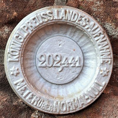
Nivellements-Nummernbolzen
No picture
360 m
Burial Mounds
Römischer Grabhügel mit Umfassungsmauer
No picture
420 m
Extraction and Processing of Raw Materials
Ehemaliger Steinbruch
No picture
530 m
Field Names