Place Names / Local History · Early Middle Ages / Romanesque
Schnupftuch


© GeoBasis-DE / LVermGeoRP, dl-de/by-2-0
There is no picture of this object yet. Do you have a photo that you would like to make available to the Kulturdatenbank? Submit a picture
Classification
- Subject area
- History
- Category
- Place Names / Local History
- Date
- Circa 500 nach Chr. bis circa 1220
Location
- District
- City of Trier
- Collective municipality
- Verbandsfreie Gemeinde Trier
- Town
- Trier
- Locality / location
- Ruwer/Eitelsbach
- Field name
- Schnupftuch
- Coordinates
- WGS 84: 49.781096, 6.722793 (Position: exact) WGS 84: 49° 46′ 51.9″ N, 6° 43′ 22.1″ E UTM 32 (ETRS89): E 336067 · N 5516781
Sources
Data sources
On the internet
Last edited: 19 Jul 2013 Object ID: 30061
https://kulturdb.de/en/objekt/30061-trier-schnupftuch
Nearby
The nearest objects
No picture
220 m
Vineyard Sites
Kartäuserberg
No picture
260 m
Vineyard Sites
Marienholz
No picture
310 m
Vineyard Sites
Karthäuserhofberg
 390 m
Oaks
Persische Eiche
400 m
Oaks
Sommer- oder Stieleiche
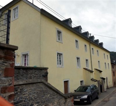 450 m
Town Houses and Commercial Buildings
Wohnhaus
450 m
Town Houses and Commercial Buildings
Wohnhaus
450 m
Town Houses and Commercial Buildings