Field Names · Undated
Knieberg


© GeoBasis-DE / LVermGeoRP, dl-de/by-2-0
There is no picture of this object yet. Do you have a photo that you would like to make available to the Kulturdatenbank? Submit a picture
Description
This description is only available in German.
Translate with Google opens this page in Google Translate (external service)
Knie - Zu althochdeutsch knio, mittelhochdeutsch knie st. N. ‚Knie‘. In den Flurnamen wird die Körperteilbezeichnung auf knieähnlich geformte Flur- oder Wegstücke übertragen. Besonders häufig ist das Kompositum Kniebrech, mittelhochdeutsch kniebreche sw. F. ‚steiler Berghang‘, das auch in den Flurnamen meist als Spottname für steile (Berg-)Wege oder steile Höhen steht. [...]
Classification
- Subject area
- History
- Category
- Field Names
- Date
- Undatiert
- Period
- Undated
Location
- District
- Bernkastel-Wittlich
- Collective municipality
- Wittlich-Land
- Municipality
- Eckfeld
- Field name
- Knieberg
- Coordinates
- WGS 84: 50.114938, 6.822728 (Position: exact) WGS 84: 50° 06′ 53.8″ N, 6° 49′ 21.8″ E UTM 32 (ETRS89): E 344340 · N 5553680
Sources
Data sources
- © Hessisches Landesamt für geschichtliche Landeskunde http://www.lagis-hessen.de/de/help/info/sn/shfb?lemma=Knie
On the internet
Last edited: 20 Jul 2013 Object ID: 30068
https://kulturdb.de/en/objekt/30068-eckfeld-knieberg
Nearby
The nearest objects
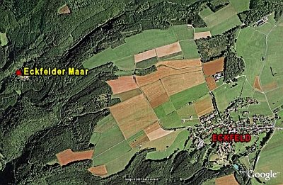 300 m
Dry Maars
Eckfelder Maar
310 m
Archaeological Conservation Areas
Fossillagerstätte Eckfelder Maar
Extraction and Processing of Raw Materials
Braunkohlenvorkommen
Field Names
Steimersklopp
Field Names
Hunger
Viewpoints
Aussichtspunkt Kobeslochhütte
 1.2 km
Spur Castles
Landwehr
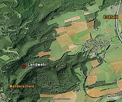 1.2 km
Spur Castles