Field Names · Undated
Im Knieling


© GeoBasis-DE / LVermGeoRP, dl-de/by-2-0
There is no picture of this object yet. Do you have a photo that you would like to make available to the Kulturdatenbank? Submit a picture
Description
This description is only available in German.
Translate with Google opens this page in Google Translate (external service)
Knie - Zu althochdeutsch knio, mittelhochdeutsch knie st. N. ‚Knie‘. In den Flurnamen wird die Körperteilbezeichnung auf knieähnlich geformte Flur- oder Wegstücke übertragen. Besonders häufig ist das Kompositum Kniebrech, mittelhochdeutsch kniebreche sw. F. ‚steiler Berghang‘, das auch in den Flurnamen meist als Spottname für steile (Berg-)Wege oder steile Höhen steht. [...]
Classification
- Subject area
- History
- Category
- Field Names
- Date
- Undatiert
- Period
- Undated
Location
- District
- Bernkastel-Wittlich
- Collective municipality
- Bernkastel-Kues
- Municipality
- Kleinich
- Locality / location
- Emmeroth
- Field name
- Im Knieling
- Coordinates
- WGS 84: 49.894757, 7.159463 (Position: exact) WGS 84: 49° 53′ 41.1″ N, 7° 09′ 34.1″ E UTM 32 (ETRS89): E 367810 · N 5528554
Sources
Data sources
- © Hessisches Landesamt für geschichtliche Landeskunde http://www.lagis-hessen.de/de/help/info/sn/shfb?lemma=Knie
On the internet
Last edited: 20 Jul 2013 Object ID: 30080
https://kulturdb.de/en/objekt/30080-kleinich-im-knieling
Nearby
The nearest objects
Farmhouses and Farm Buildings
Quereinhaus
 210 m
Coats of Arms
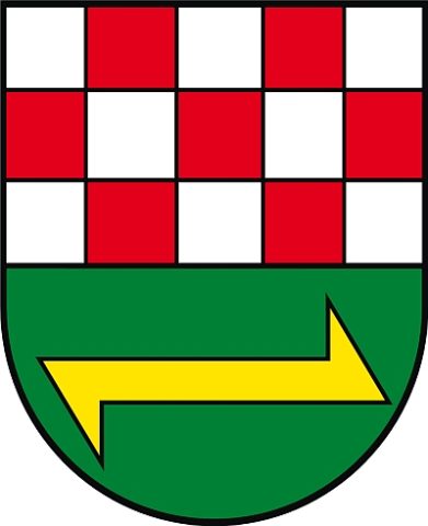
Wappen von Kleinich-Emmeroth
Field Names
Auf der Kehr
Field Names
Hinkenbungert
 340 m
Commemorative Plantings
Kaisergarten
Field Names
Auf dem Regenbogen
Field Names
In der Acht
Field Names