Wayside Shrines and Stations of the Cross · Undated
Wegekreuz

Classification
- Subject area
- Architectural and Art Monuments
- Category
- Religious Buildings
- Object type
- Wayside Shrines and Stations of the Cross
- Date
- Undatiert
- Period
- Undated
Location
- District
- Trier-Saarburg
- Collective municipality
- Schweich an der römischen Weinstraße
- Municipality
- Longuich
- Field name
- Kühwald
- Coordinates
- WGS 84: 49.791983, 6.756184 (Position: exact) WGS 84: 49° 47′ 31.1″ N, 6° 45′ 22.3″ E UTM 32 (ETRS89): E 338506 · N 5517918
Sources
Data sources
- [1] Manfred Knapp, Nohfelden, 2016.
On the internet
Picture credits
- Picture 1: © Manfred Knapp, Nohfelden, 2016.
Last edited: 28 Aug 2013 Object ID: 30392
https://kulturdb.de/en/objekt/30392-longuich-wegekreuz
Nearby
The nearest objects
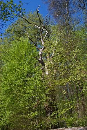 200 m
Oaks
Ehemalige Bismark Eiche
 510 m
Mineral Springs
Longuicher Sauerbrunnen
No picture
760 m
Viewpoints
Aussichtspunkt Götzbild
No picture
900 m
Vineyard Sites
Auf dem Wingertsberg an den Pfeilen
No picture
910 m
Vineyard Sites
Aufm Wingertsberg
No picture
1.1 km
Field Names
Ober der Wolfkaul
No picture
1.2 km
Field Names
Unter der Vogelgasse unter Collert
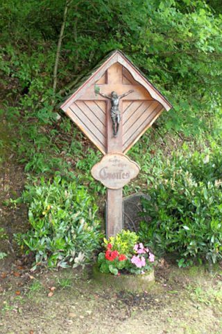 1.4 km
Wayside Shrines and Stations of the Cross