Field Names · Undated
Brasilien


© GeoBasis-DE / LVermGeoRP, dl-de/by-2-0
There is no picture of this object yet. Do you have a photo that you would like to make available to the Kulturdatenbank? Submit a picture
Description
This description is only available in German.
Translate with Google opens this page in Google Translate (external service)
Vielleicht entstanden aus "Basilien" = Heide, Heidekraut, wo basilicum = Königskerze häufig war. Eine andere Deutung geht dahin, daß es sich hierbei immer um eine Lage am äußersten Ende der Dorfgemarkung handelt, die gleich dem von den vielen Auswanderern des Hochwaldes im vorigen Jahrhundert in Brasilien zu rodenden Land eine Rodungsfläche war.
Classification
- Subject area
- History
- Category
- Field Names
- Date
- Undatiert
- Period
- Undated
Location
- District
- Trier-Saarburg
- Collective municipality
- Schweich an der römischen Weinstraße
- Municipality
- Longen
- Street
- Moselweinstraße 9
- Field name
- Brasilien
- Coordinates
- WGS 84: 49.806062, 6.792833 (Position: exact) WGS 84: 49° 48′ 21.8″ N, 6° 47′ 34.2″ E UTM 32 (ETRS89): E 341190 · N 5519405
Sources
Data sources
- Willi Schmitt und Kurt Bach: Malborn – Ein Hochwalddorf und seine Geschichte. Hrsg.: Gemeinde Malborn, 1981.
On the internet
Last edited: 29 Aug 2013 Object ID: 30399
https://kulturdb.de/en/objekt/30399-longen-brasilien
Nearby
The nearest objects
Cremation Graves
Römische Brandgräber
Field Names
Im Wolf
 280 m
Catholic Churches
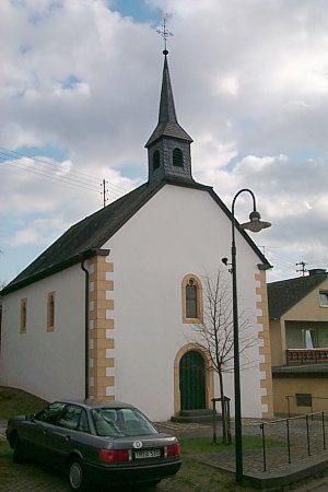
Sankt Eligius
Wayside Shrines and Stations of the Cross
Streckhof
Settlements
Mauerreste, Bauschutt und Ziegel
 320 m
Wayside Shrines and Stations of the Cross
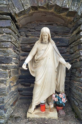
Grotte mit Jesusfigur
Wayside Shrines and Stations of the Cross
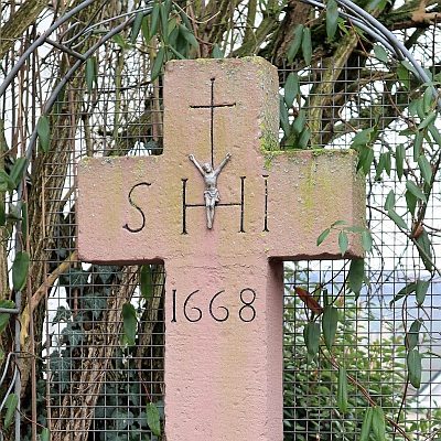
Spätbarockes Einhaus
 320 m
Wayside Shrines and Stations of the Cross