Wayside Shrines and Stations of the Cross · 20th Century
Wegekreuz

Description
This description is only available in German.
Translate with Google opens this page in Google Translate (external service)
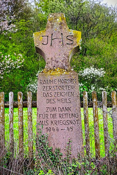
Inschrift:
JHS
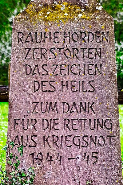
Auf dem Sockel:
RAUHE HORDEN
ZERSTÖRTEN
DAS ZEICHEN
DES HEILS
ZUM DANK
FÜR DIE RETTUNG
AUS KRIEGSNOT
1944-45 [1]
Classification
- Subject area
- Architectural and Art Monuments
- Category
- Religious Buildings
- Object type
- Wayside Shrines and Stations of the Cross
- Date
- Nach 1945
- Period
- 20th Century
Location
- District
- Eifelkreis Bitburg-Prüm
- Collective municipality
- Südeifel
- Municipality
- Ammeldingen an der Our
- Field name
- In Neuernd
- Coordinates
- WGS 84: 49.885144, 6.260859 (Position: exact) WGS 84: 49° 53′ 06.5″ N, 6° 15′ 39.1″ E UTM 32 (ETRS89): E 303239 · N 5529459
Sources
Data sources
- [1] Andreas Thielen, Mettendorf, 2025.
On the internet
de.wikipedia.org/wiki/Ammeldingen_an_der_Our
Picture credits
Last edited: 14 Jul 2025 Object ID: 30465
https://kulturdb.de/en/objekt/30465-ammeldingen-an-der-our-wegekreuz
Nearby
The nearest objects
Fortresses and Bunkers
Westwall - Schartenstand
Fortresses and Bunkers
Westwall - Schartenstand
Fortresses and Bunkers
Westwall - Schartenstand
Fortresses and Bunkers
Westwall - Schartenstand
Fortresses and Bunkers
Westwall - Doppelschartenstand
Fortresses and Bunkers
Westwall - Schartenstand
Vineyard Sites
Im schmalen Wangert
Fortresses and Bunkers