Wayside Shrines and Stations of the Cross · Neoclassicism
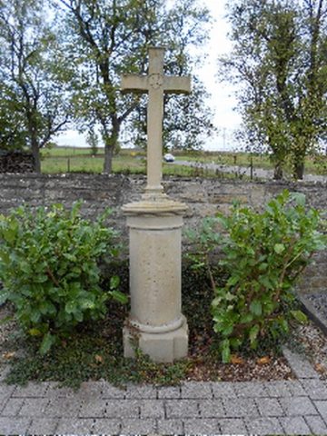
Wegekreuz


Classification
- Subject area
- Architectural and Art Monuments
- Category
- Religious Buildings
- Object type
- Wayside Shrines and Stations of the Cross
- Date
- 1783
- Period
- Neoclassicism
Location
- District
- Eifelkreis Bitburg-Prüm
- Collective municipality
- Bitburger Land
- Municipality
- Halsdorf
- Street
- Im Reuland 1
- Field name
- Bei der alten Kirche
- Coordinates
- WGS 84: 49.931421, 6.376297 (Position: exact) WGS 84: 49° 55′ 53.1″ N, 6° 22′ 34.7″ E UTM 32 (ETRS89): E 311711 · N 5534306
Sources
Data sources
- [1] Dr. Peter Stolz, Trier, 2021.
On the internet
de.wikipedia.org/wiki/Halsdorf
Picture credits
Last edited: 16 Apr 2021 Object ID: 30475
https://kulturdb.de/en/objekt/30475-halsdorf-wegekreuz
Nearby
The nearest objects
No picture
160 m
Field Names
Im Rüdelborn
No picture
180 m
Farmhouses and Farm Buildings
Remise
 190 m
War Memorials
Friedhofskreuz
No picture
200 m
Chapels
Ehemalige Kapelle
 230 m
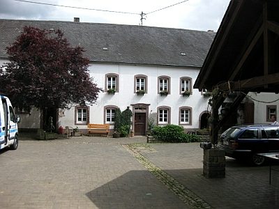
Farmhouses and Farm Buildings
Hof
 250 m
Place Names / Local History
Erste Erwähnung als Haltzdorf
250 m
Coats of Arms
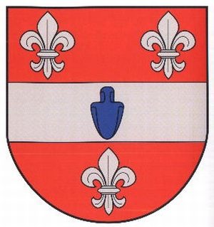
Wappen der Gemeinde Halsdorf
 290 m
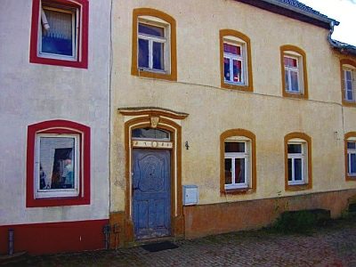
Farmhouses and Farm Buildings