Wayside Shrines and Stations of the Cross · Undated
Wegekreuz
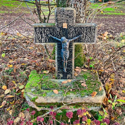
Classification
- Subject area
- Architectural and Art Monuments
- Category
- Religious Buildings
- Object type
- Wayside Shrines and Stations of the Cross
- Date
- Undatiert
- Period
- Undated
Location
- District
- Eifelkreis Bitburg-Prüm
- Collective municipality
- Südeifel
- Municipality
- Kruchten
- Street
- Maximinstraße
- Field name
- Im Rellicker
- Coordinates
- WGS 84: 49.903237, 6.316519 (Position: exact) WGS 84: 49° 54′ 11.7″ N, 6° 18′ 59.5″ E UTM 32 (ETRS89): E 307309 · N 5531325
Sources
Data sources
- [1] Michael Fischer, Waxweiler, 2025.
On the internet
de.wikipedia.org/wiki/Kruchten
Picture credits
- Picture 1: © Michael Fischer, Waxweiler, 2025.
Last edited: 9 Dec 2025 Object ID: 30516
https://kulturdb.de/en/objekt/30516-kruchten-wegekreuz
Nearby
The nearest objects
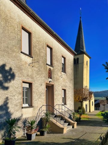 390 m
Rectories
Ehemaliges Pfarrhaus
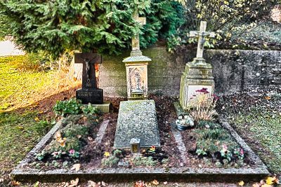 400 m
Burial Sites
Sankt Maximin - Priestergräber
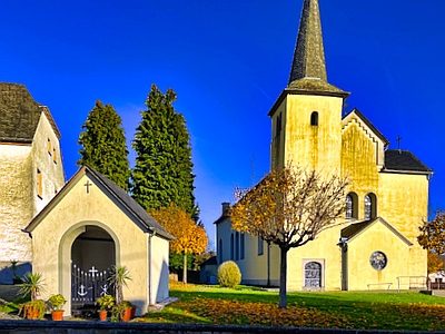 410 m
Chapels
Kapelle vor der Pfarrkirche
 410 m
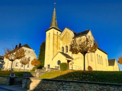
Catholic Churches
Sankt Maximin
No picture
410 m
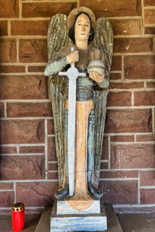
Place Names / Local History
Erste Erwähnung als Cruten
 410 m
War Memorials
Sankt Maximin - Gedenktafeln für Kriegsgefallene
 410 m
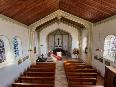
Catholic Churches
Sankt Maximin - Innen
 420 m
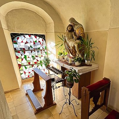
Chapels